Wank Gipfel | 1780m
| Elevation gain |
| Elevation loss |
| Distance |
| Duration |
| Highest altitude |
| Rating |
Route Information
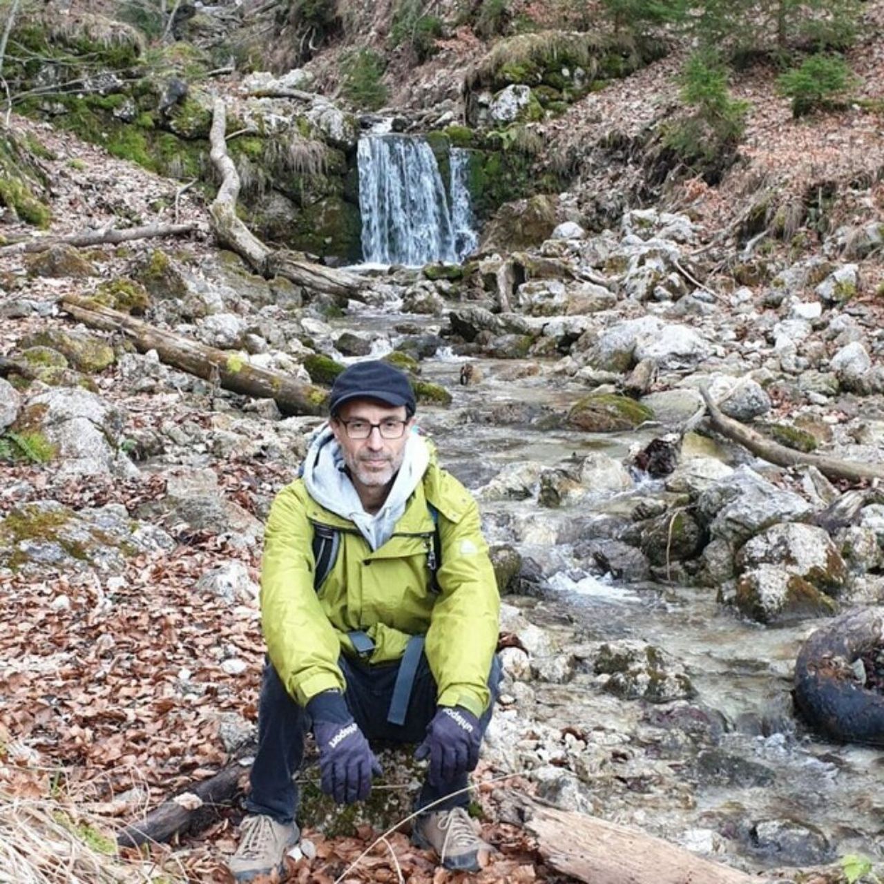
Expert Hiking Tour. Very good fitness required. Mostly accessible paths. Sure-footedness required.
Wank (1780 m)
Hrs: 07:12
Distance 17.7 km
Average speed 2.5 km/h
Uphill 1,080 m
Downhill 1,080 m
Enter your description ; check https://www.komoot.com/tour/1318803984
Automatic direction calculation (experimental feature, please provide feedback)
By car: Navigate using Google maps
By public transport:
Train station near start point: Garmisch-Partenkirchen (1.6 Km from start point)
Bus stop near start point: Wankbahn (35 m from start point)
Bus stop near start point: Am Brünnl (652 m from start point)
------
Automatic hut detection (experimental feature, please provide feedback)
Wank-Haus (1780 m):
Url: Homepage
Phone: +49882156201
Wikipedia: Wikipedia page
Location: Google maps
------
| Technical Difficulty | Easy | |||||||||||
|---|---|---|---|---|---|---|---|---|---|---|---|---|
| Gear | ||||||||||||
| Popularity | 1 | |||||||||||
Route statistics
| Highest point | 1780m | |||||||||||
|---|---|---|---|---|---|---|---|---|---|---|---|---|
| Total gain | 1109m | |||||||||||
| Total loss | 1109m | |||||||||||
| Duration | 06h31m | |||||||||||
| Distance | 17.5Km | |||||||||||
| Rating | 1171 | |||||||||||
Best Season
Forecast
Author