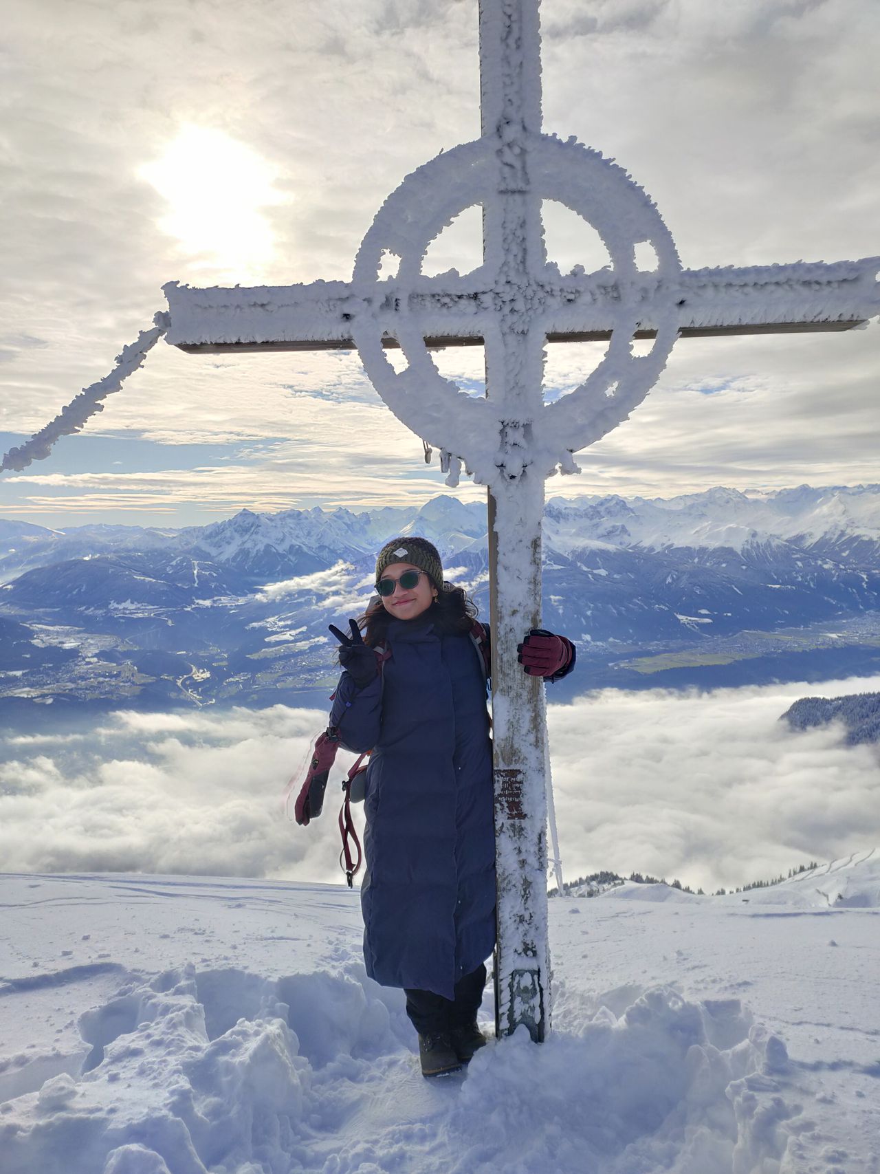
Geierstein von Hohenburg | 1491m
| Elevation gain |
| Elevation loss |
| Distance |
| Duration |
| Highest altitude |
| Rating |
Route Information
Automatic peak(s) detection (experimental feature)
The route passes by the following peaks:
- Geierstein (1491 m)
-------
User provided description:
Mit Bahn und Bus erreichbar :
Mit dem Zug (BRB) nach Lenggries und von dort aus zu Fuß weiter in Richtung Schloss Hohenburg (Erzbischöfliche St.-Ursula-Schulen Schloss Hohenburg b. Lenggries, Hohenburgstraße 3, 83661 Lenggries)
Automatic direction calculation (experimental feature, please provide feedback)
By car: Navigate using Google maps
By public transport:
Train station near start point: Lenggries (1.4 Km from start point)
Bus stop near start point: Lenggries, Anger (388 m from start point)
Bus stop near start point: Hirschbachbrücke (420 m from start point)
Train station near end point: Lenggries (3.5 Km from end point)
Bus stop near end point: Lenggries, Anger (2992 m from end point)
------
| Technical Difficulty | Medium | |||||||||||
|---|---|---|---|---|---|---|---|---|---|---|---|---|
| Gear | Hiking Boots | |||||||||||
| Popularity | 1 | |||||||||||
Route statistics
| Highest point | 1491m | |||||||||||
|---|---|---|---|---|---|---|---|---|---|---|---|---|
| Total gain | 761m | |||||||||||
| Total loss | 16m | |||||||||||
| Duration | 01h46m | |||||||||||
| Distance | 3.8Km | |||||||||||
| Rating | 627 | |||||||||||
Best Season
Forecast
Author