Schmugglerweg-Smuggler's Path (Rudersburg Gipfel) | 1434m
| Elevation gain |
| Elevation loss |
| Distance |
| Duration |
| Highest altitude |
| Rating |
Route Information
Automatic peak(s) detection (experimental feature)
The route passes by the following peaks:- Rudersburg (1434 m)
User provided description:
Staffen near Kössen (608 m) - Hinhager Alm (1010 m) - Wettervane (1284 m) - Rudersburg (1430 m) - Naringalm (1135 m) - Hinhager Alm (1010 m) - Staffen (608 m)
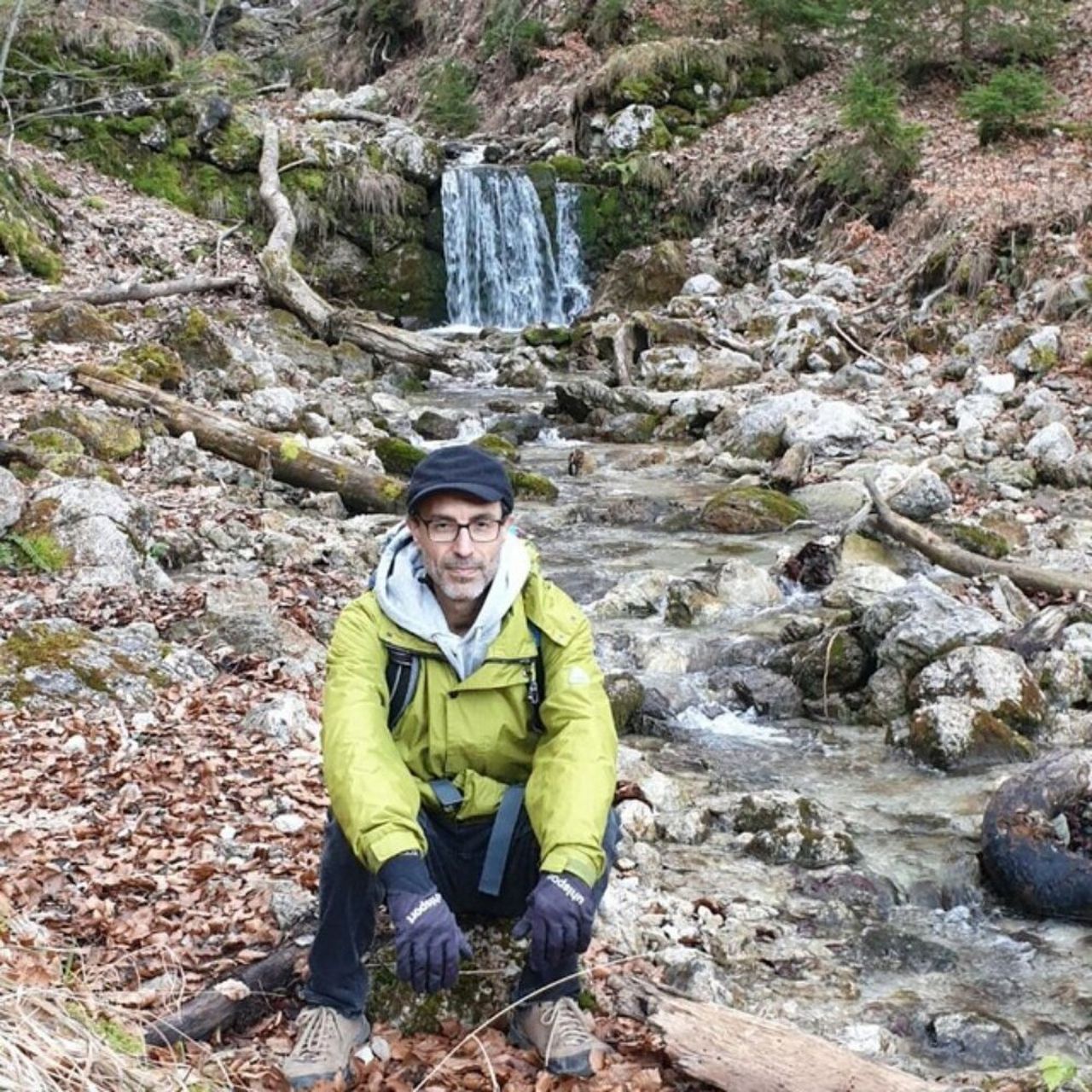
Character: Easy mountain hike along forest and meadow paths to the summit of the Rudersburg. The climb to the summit of Rudersburg is moderately difficult. Sure-footedness is necessary on the steep path.
Automatic direction calculation (experimental feature, please provide feedback)
By car: Navigate using Google maps
By public transport:
Train station near start point: Aschau (13.7 Km from start point)
Bus stop near start point: Kössen VZ Kaiserwinkl (47 m from start point)
------
| Technical Difficulty | Medium | |||||||||||
|---|---|---|---|---|---|---|---|---|---|---|---|---|
| Gear | Hiking Boots | |||||||||||
| Popularity | 1 | |||||||||||
Route statistics
| Highest point | 1434m | |||||||||||
|---|---|---|---|---|---|---|---|---|---|---|---|---|
| Total gain | 1103m | |||||||||||
| Total loss | 1103m | |||||||||||
| Duration | 06h59m | |||||||||||
| Distance | 19.2Km | |||||||||||
| Rating | 1224 | |||||||||||
Best Season
Forecast
Author