Tegernseer Hütte, Roß- und Buchstein | 1701m
| Elevation gain |
| Elevation loss |
| Distance |
| Duration |
| Highest altitude |
| Rating |
Route Information
Automatic peak(s) detection (experimental feature)
The route passes by the following peaks:
- Roßstein (1698 m)
- Buchstein (1701 m)
-------
User provided description:
Enter your description ...
Automatic direction calculation (experimental feature, please provide feedback)
By car: Navigate using Google maps
By public transport:
Train station near start point: Lenggries (10.5 Km from start point)
Bus stop near start point: Tegernseer Hütte Bushst., Kreuth (61 m from start point)
------
Automatic hut detection (experimental feature, please provide feedback)
Tegernseer Hütte (1650 m):
Location: Google maps
------
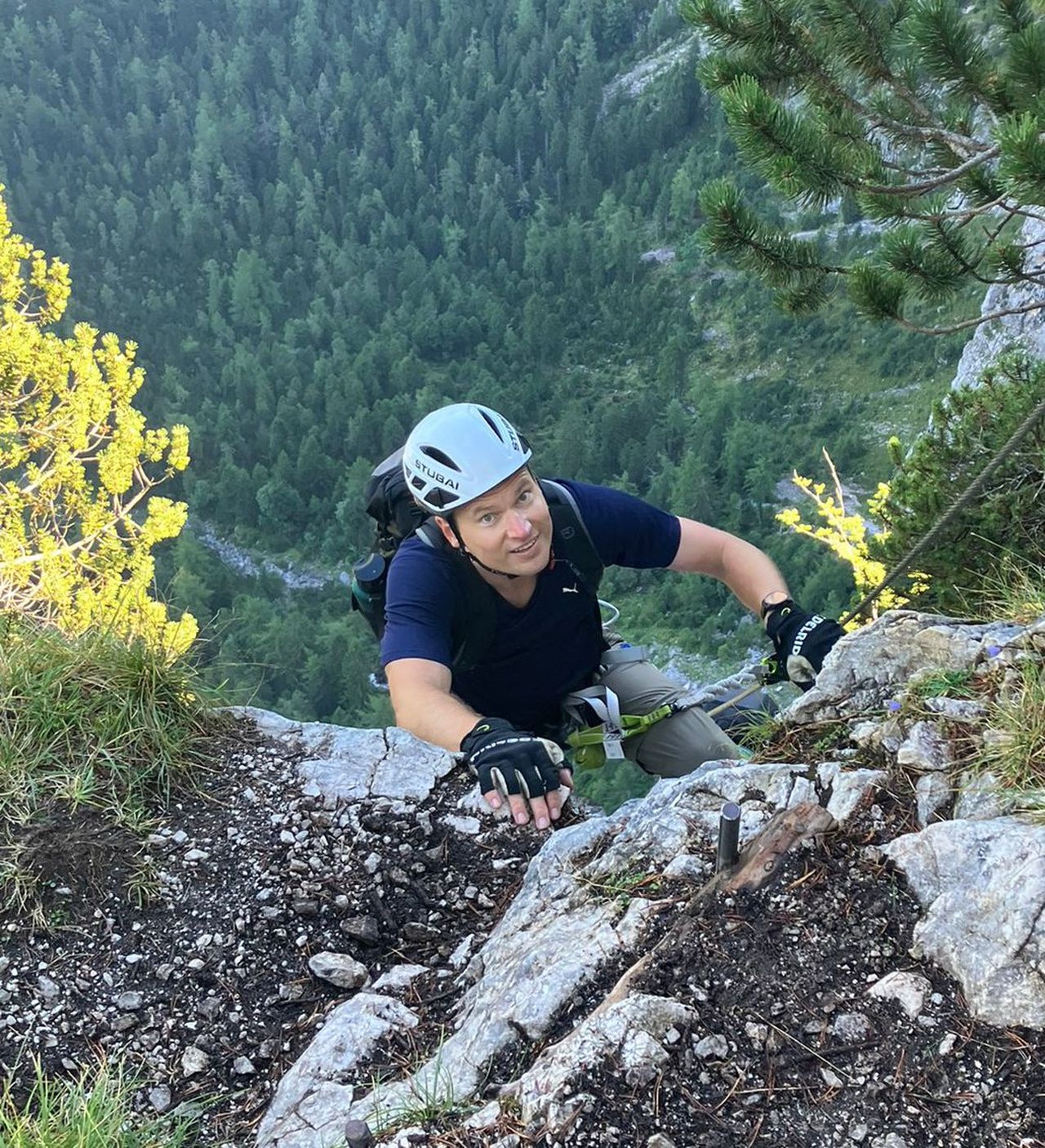
| Technical Difficulty | Difficult | |||||||||||
|---|---|---|---|---|---|---|---|---|---|---|---|---|
| Gear | ||||||||||||
| Popularity | 1 | |||||||||||
Route statistics
| Highest point | 1701m | |||||||||||
|---|---|---|---|---|---|---|---|---|---|---|---|---|
| Total gain | 822m | |||||||||||
| Total loss | 822m | |||||||||||
| Duration | 03h01m | |||||||||||
| Distance | 6.9Km | |||||||||||
| Rating | 817 | |||||||||||
Best Season
Forecast
Author