Automatic peak(s) detection (experimental feature)
The route passes by the following peaks:
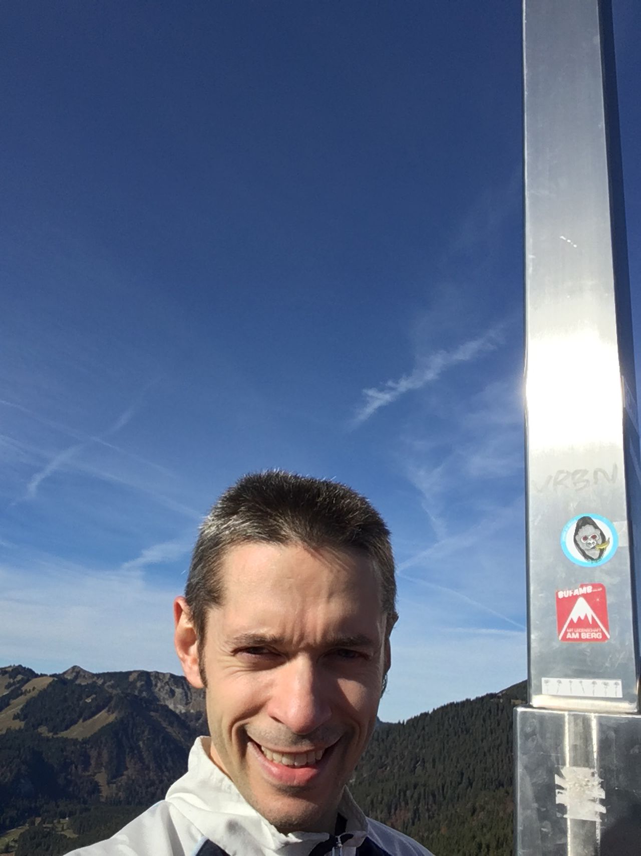
- Wallberg (1722 m)
- Bärenwand (1156 m)
-------
User provided description:
The ascent via “Oststeig” is partially offroad between Laiterkopf and Wallberg. The offroad portion starts roughly to the north-north-east of Laiterkopf when you exit the forest near Mittertaler Graben and ends roughly to the west-south-west of Laiterkopf. Much of the offroad portion has high grass or is muddy in the autumn; you do need high boots with grip. The part between the north-north-east of Laiterkopf and north-north-west of Laiterkopf was once a proper path and is still a path on the map; this part is overgrown with grass in the autumn; if you pay lots of attention, you can still see the remnants of this path and catch it. The part between the north-north-west of Laiterkopf and the west-south-west of Laiterkopf mostly lacks signs of a proper path; I saw almost none.
The descent via “Nordsteig” is relatively steep. You do need excellent grip – proper sole tread AND hiking poles AND dry soil are necessary.