Great view loop from Kreuzeck-/Alpspitzbahn | 1651m
| Elevation gain |
| Elevation loss |
| Distance |
| Duration |
| Highest altitude |
| Rating |
Route Information
Automatic peak(s) detection (experimental feature)
The route passes by the following peaks:
- Kreuzeck (1651 m)
-------
User provided description:
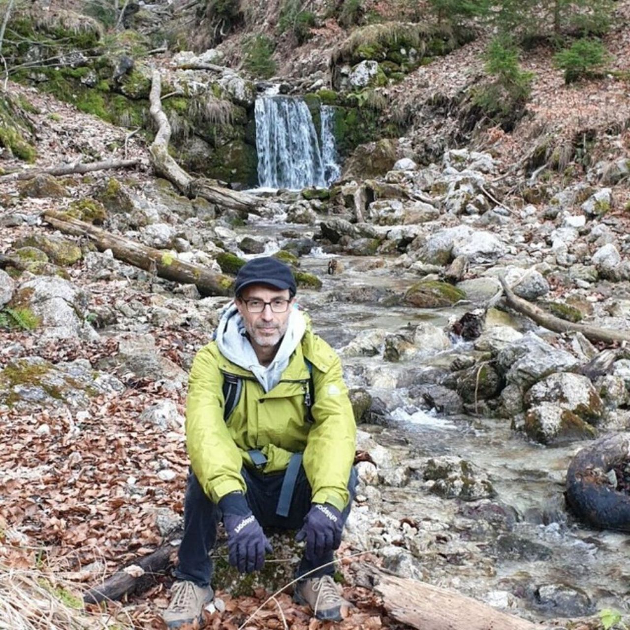
Expert Hiking Tour. Very good fitness required. Mostly accessible paths. Sure-footedness required. The starting point of the Tour is accessible with public transport.
Mountain Hiking Path: 3.47 km
Hiking Path: 292 m
Path: 8.25 km
Alpine: 1.04 km
Unpaved: 2.68 km
Gravel: 7.88 km
Paved: 242 m
Asphalt: 216 m
Automatic direction calculation (experimental feature, please provide feedback)
By car: Navigate using Google maps
By public transport:
Train station near start point: Kreuzeck-/Alpspitzbahn (0.0 Km from start point)
Bus stop near start point: Kreuzeck-/Alpspitzbahn (46 m from start point)
Bus stop near start point: Aule-Alm Fußweg (685 m from start point)
------
Automatic hut detection (experimental feature, please provide feedback)
Kreuzeckhaus (1652 m):
Website: Homepage
Phone: +49 8821 2202
Wikipedia: Wikipedia page
Location: Google maps
Barbarahaus (1652 m):
Location: Google maps
Rießerkopf Haus (Toni Hütte) (1096 m):
Location: Google maps
------
| Technical Difficulty | Easy | |||||||||||
|---|---|---|---|---|---|---|---|---|---|---|---|---|
| Gear | Hiking Poles | |||||||||||
| Popularity | 1 | |||||||||||
Route statistics
| Highest point | 1651m | |||||||||||
|---|---|---|---|---|---|---|---|---|---|---|---|---|
| Total gain | 892m | |||||||||||
| Total loss | 892m | |||||||||||
| Duration | 04h33m | |||||||||||
| Distance | 12.1Km | |||||||||||
| Rating | 932 | |||||||||||
Best Season
Forecast
Author