Karwendel Classic - Winter Version | 2385m
| Elevation gain |
| Elevation loss |
| Distance |
| Duration |
| Highest altitude |
| Rating |
Route Information
The route passes by the following peaks:
- Nördliche Linderspitze (2372 m)
- Mittlere Linderspitze (2239 m)
- Südliche Linderspitze (2304 m)
- Westliche Karwendelspitze (2385 m)
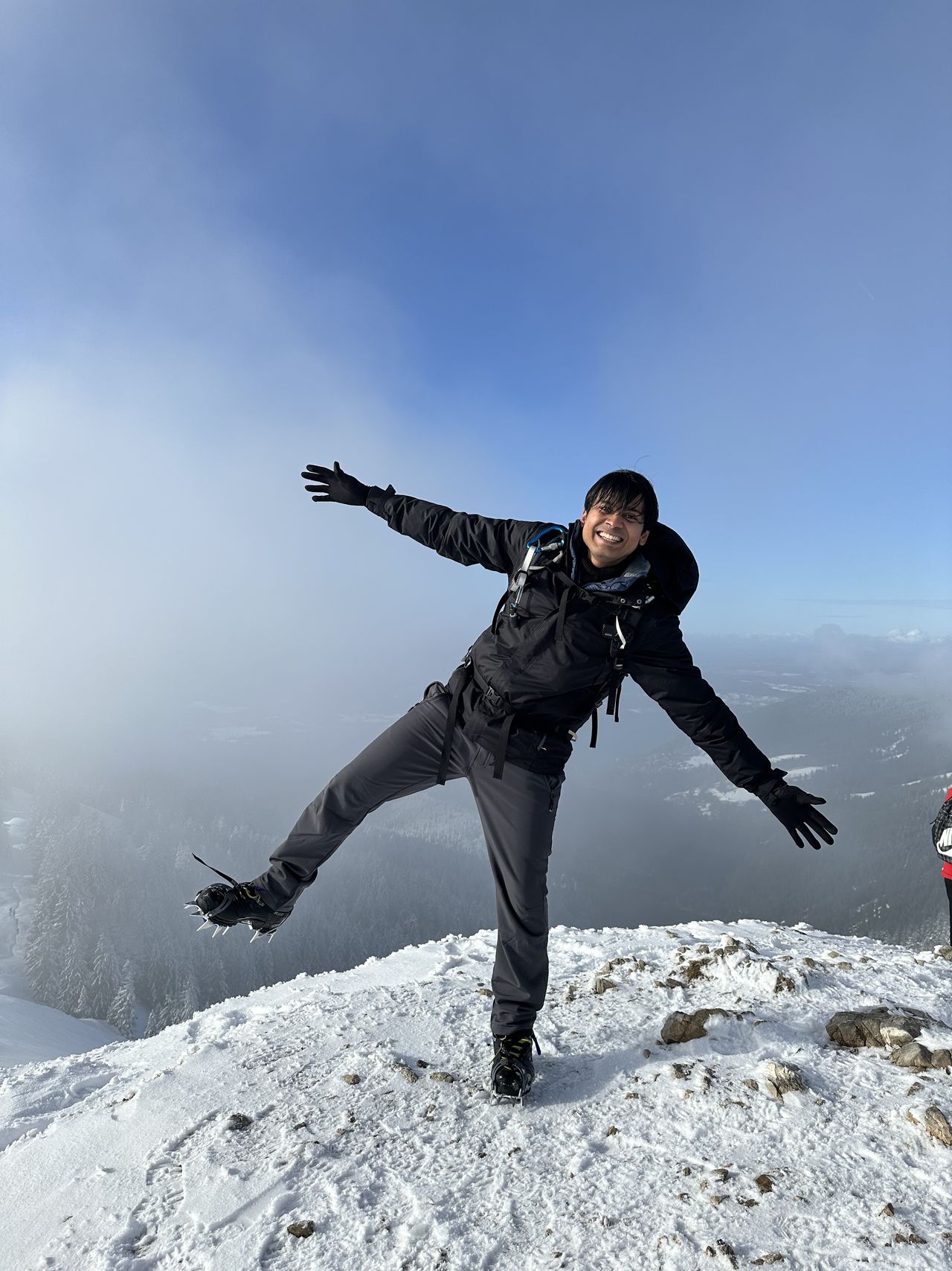
This route is for those who wish to embark on a winter mountain ridge walk in the Karwendel mountain range, specifically covering the Nördliche Linderspitze (2372 m), Mittlere Linderspitze (2239 m), Südliche Linderspitze (2304 m), and Westliche Karwendelspitze (2385 m). The trek promises an awe-inspiring adventure but demands a profound understanding of the risks involved. NO BEGINNERS, Alpine Experience required.
The stark beauty of these peaks is accentuated by the winter landscape, offering panoramic views of snow-covered expanses. However, undertaking this journey requires a heightened awareness of the challenges. Winter conditions bring a substantial risk of encountering deep snow, icy terrain, and gusty winds along the exposed ridge. (Most of the time, the fixed ropes would be buried deep within).
~ Sidhant P.
Karwendel Mountain Station
Disclaimer:
I am not a certified mountain guide. The information provided about the mountain trail is for general knowledge purposes only. If you choose to undertake these routes, you do so entirely at your own risk.
Mountaineering and hiking involve inherent risks, including but not limited to difficult terrain, unpredictable weather conditions, and physical challenges. It is crucial to conduct thorough research, assess your personal capabilities, and stay informed about current trail conditions before attempting any mountain activities.
I disclaim any responsibility for the outcomes of individuals who choose to pursue this trial. Always prioritize safety, obtain the necessary skills, and consider seeking guidance from certified professionals. Make informed decisions based on your own assessment and understanding of the risks involved.
~ Sidhant P.
| Technical Difficulty | Difficult | |||||||||||
|---|---|---|---|---|---|---|---|---|---|---|---|---|
| Gear | Hiking Boots , Klettersteig Set , Helmet , Gloves , Ropes | |||||||||||
| Popularity | 0 | |||||||||||
Route statistics
| Highest point | 2385m | |||||||||||
|---|---|---|---|---|---|---|---|---|---|---|---|---|
| Total gain | 413m | |||||||||||
| Total loss | 328m | |||||||||||
| Duration | 02h52m | |||||||||||
| Distance | 4.6Km | |||||||||||
| Rating | 1050 | |||||||||||
Best Season
Forecast
Author