Hoher Kranzberg | 1391m
| Elevation gain |
| Elevation loss |
| Distance |
| Duration |
| Highest altitude |
| Rating |
Route Information
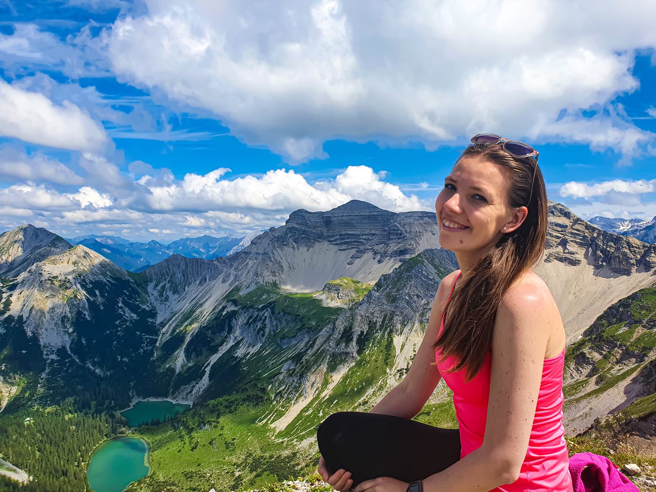
An easy hike to Hoher Kranzberg with two lakes
Automatic direction calculation (experimental feature, please provide feedback)
By car: Navigate using Google maps
By public transport:
Train station near start point: Mittenwald (0.9 Km from start point)
Bus stop near start point: Geigenbauschule (468 m from start point)
------
| Technical Difficulty | Easy | |||||||||||
|---|---|---|---|---|---|---|---|---|---|---|---|---|
| Gear | Hiking Boots | |||||||||||
| Popularity | 3 | |||||||||||
Route statistics
| Highest point | 1391m | |||||||||||
|---|---|---|---|---|---|---|---|---|---|---|---|---|
| Total gain | 518m | |||||||||||
| Total loss | 525m | |||||||||||
| Duration | 04h13m | |||||||||||
| Distance | 13.5Km | |||||||||||
| Rating | 891 | |||||||||||
Best Season
Forecast
Author