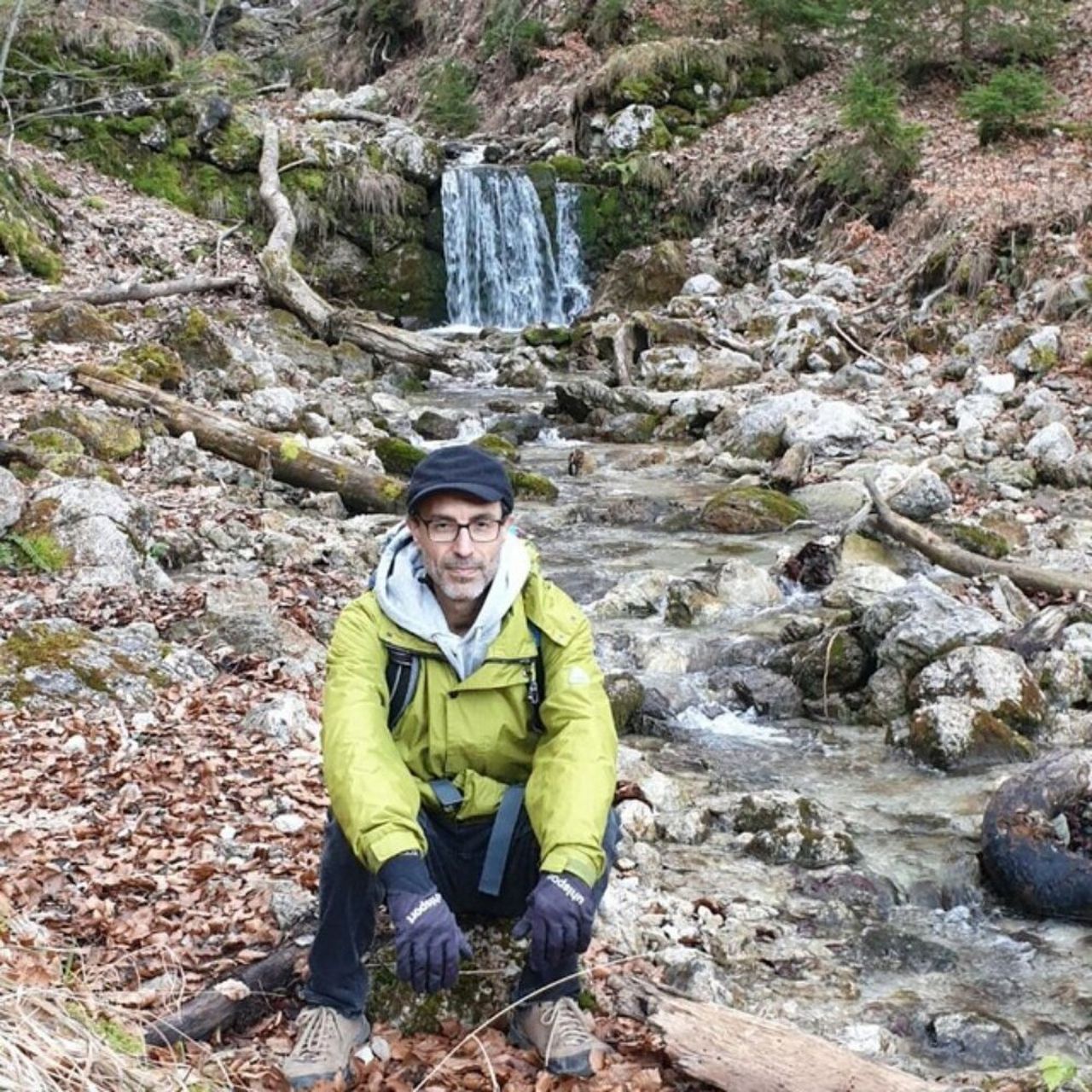
Wasserfall – Burgruine Falkenstein loop from Flintsbach | 1201m
| Elevation gain |
| Elevation loss |
| Distance |
| Duration |
| Highest altitude |
| Rating |
Route Information
(No description available)
Automatic direction calculation (experimental feature, please provide feedback)
By car: Navigate using Google maps
By public transport:
Train station near start point: Flintsbach (0.0 Km from start point)
Bus stop near start point: Flintsbach - Feuerwehrhaus (328 m from start point)
Bus stop near start point: Haltestelle Flintsbach am Inn/Rathaus (357 m from start point)
------
| Technical Difficulty | Easy | |||||||||||
|---|---|---|---|---|---|---|---|---|---|---|---|---|
| Gear | ||||||||||||
| Popularity | 1 | |||||||||||
Route statistics
| Highest point | 1201m | |||||||||||
|---|---|---|---|---|---|---|---|---|---|---|---|---|
| Total gain | 752m | |||||||||||
| Total loss | 752m | |||||||||||
| Duration | 04h15m | |||||||||||
| Distance | 12.4Km | |||||||||||
| Rating | 965 | |||||||||||
Best Season
Forecast
Author