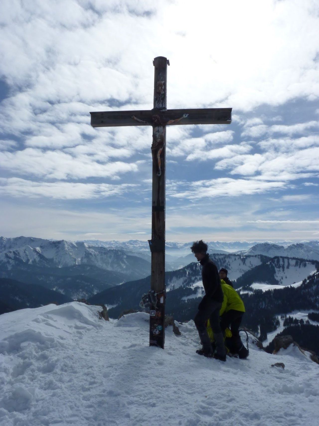
Ettal-Kienjoch-Felderkopf-Brünstelkreuz-Farchant | 1953m
| Elevation gain |
| Elevation loss |
| Distance |
| Duration |
| Highest altitude |
| Rating |
Route Information
A different version of https://www.hiking-buddies.com/routes/routes_list/146/ that ends in Farchant.
Automatic direction calculation (experimental feature, please provide feedback)
By car: Navigate using Google maps
By public transport:
Train station near start point: Oberammergau (3.9 Km from start point)
Bus stop near start point: Abzw. Zieglerhof (17 m from start point)
Train station near end point: Farchant (0.0 Km from end point)
Bus stop near end point: Farchant, Antoni-Stüberl (200 m from end point)
------
| Technical Difficulty | Medium Difficult | |||||||||||
|---|---|---|---|---|---|---|---|---|---|---|---|---|
| Gear | Hiking Boots | |||||||||||
| Popularity | 2 | |||||||||||
Route statistics
| Highest point | 1953m | |||||||||||
|---|---|---|---|---|---|---|---|---|---|---|---|---|
| Total gain | 1608m | |||||||||||
| Total loss | 1782m | |||||||||||
| Duration | 10h12m | |||||||||||
| Distance | 23.3Km | |||||||||||
| Rating | 1633 | |||||||||||
Best Season
Forecast
Author