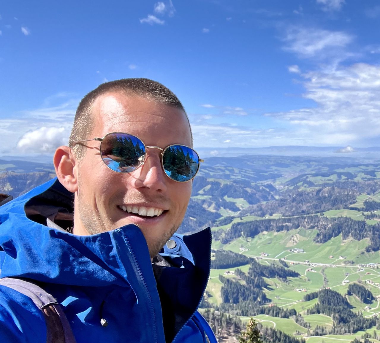
[CH] Gersauerstock from Gersau | 1452m
| Elevation gain |
| Elevation loss |
| Distance |
| Duration |
| Highest altitude |
| Rating |
Route Information
Automatic peak(s) detection (experimental feature)
The route passes by the following peaks:
- Vitznauerstock/Gersauerstock (1451.6 m)
| Technical Difficulty | Very Easy | |||||||||||
|---|---|---|---|---|---|---|---|---|---|---|---|---|
| Gear | ||||||||||||
| Popularity | 2 | |||||||||||
Route statistics
| Highest point | 1452m | |||||||||||
|---|---|---|---|---|---|---|---|---|---|---|---|---|
| Total gain | 1036m | |||||||||||
| Total loss | 1041m | |||||||||||
| Duration | 04h44m | |||||||||||
| Distance | 13.2Km | |||||||||||
| Rating | 977 | |||||||||||
Best Season
Forecast
Author