Leutasch Trail | 2042m
| Elevation gain |
| Elevation loss |
| Distance |
| Duration |
| Highest altitude |
| Rating |
Route Information
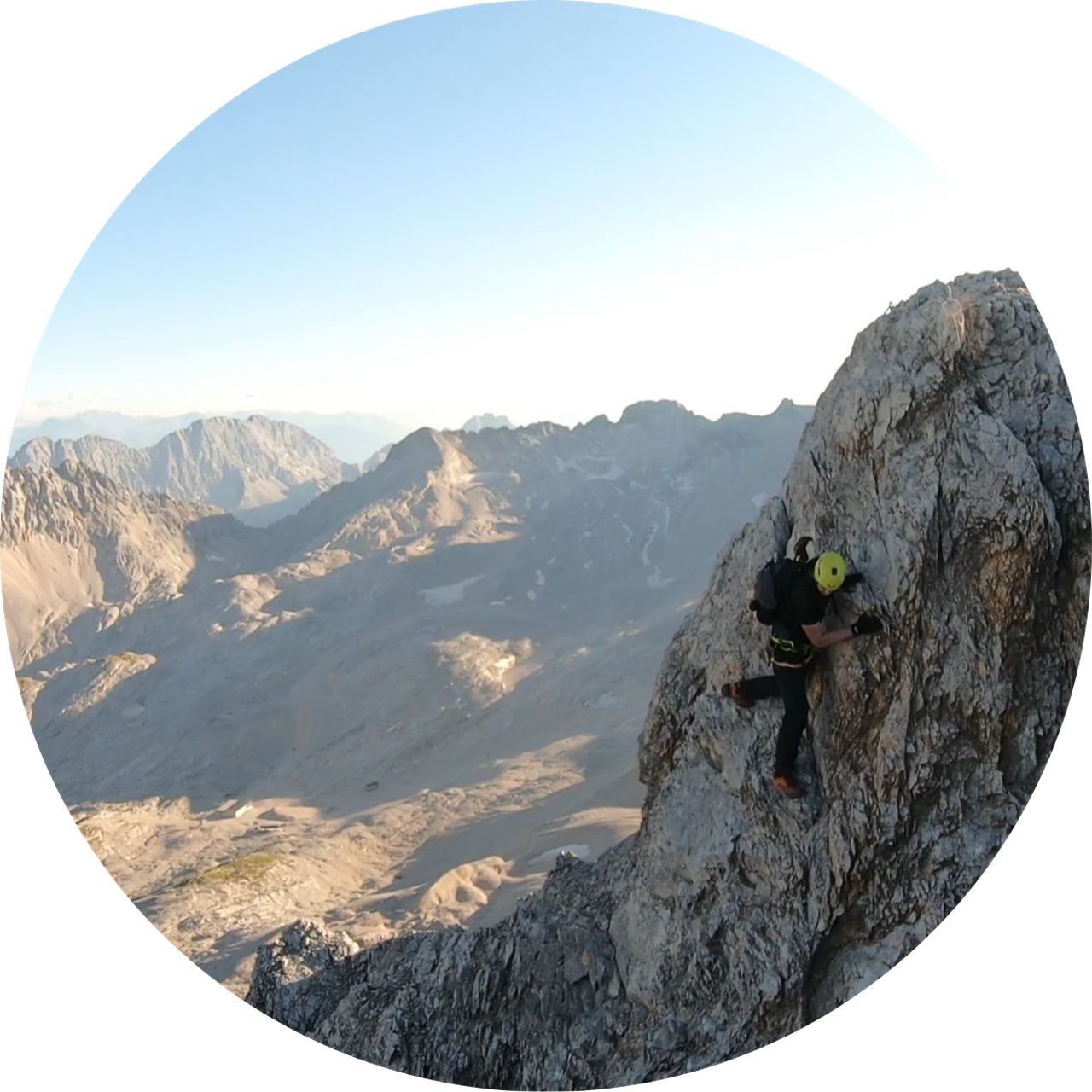
This is the official route of the 2024 "Leutasch Trail" trail running ultramarathon race.
It is 68km long and it covers over 2800 meters of elevation gain.
The time limit to complete the race set by the official race is 16 hours.
It is 68km long and it covers over 2800 meters of elevation gain.
The time limit to complete the race set by the official race is 16 hours.
Automatic hut detection (experimental feature, please provide feedback)
Wetterstein Hütte (1717 m):
Website: Homepage
Phone: +436644153747
Wikipedia: Wikipedia page
Location: Google maps
Wangalm (1751 m):
Website: Homepage
Phone: +4352146620; +4366473863164
Location: Google maps
Eckbauer
Location: Google maps
Barbarahaus (1652 m):
Location: Google maps
Kreuzeckhaus (1652 m):
Website: Homepage
Phone: +49 8821 2202
Wikipedia: Wikipedia page
Location: Google maps
AGV Drehmöser Hutte
Location: Google maps
------
| Technical Difficulty | Medium Difficult | |||||||||||
|---|---|---|---|---|---|---|---|---|---|---|---|---|
| Gear | ||||||||||||
| Popularity | 0 | |||||||||||
Route statistics
| Highest point | 2042m | |||||||||||
|---|---|---|---|---|---|---|---|---|---|---|---|---|
| Total gain | 3081m | |||||||||||
| Total loss | 3486m | |||||||||||
| Duration | 35h09m | |||||||||||
| Distance | 67.1Km | |||||||||||
| Rating | 3770 | |||||||||||
Best Season
Forecast
Author