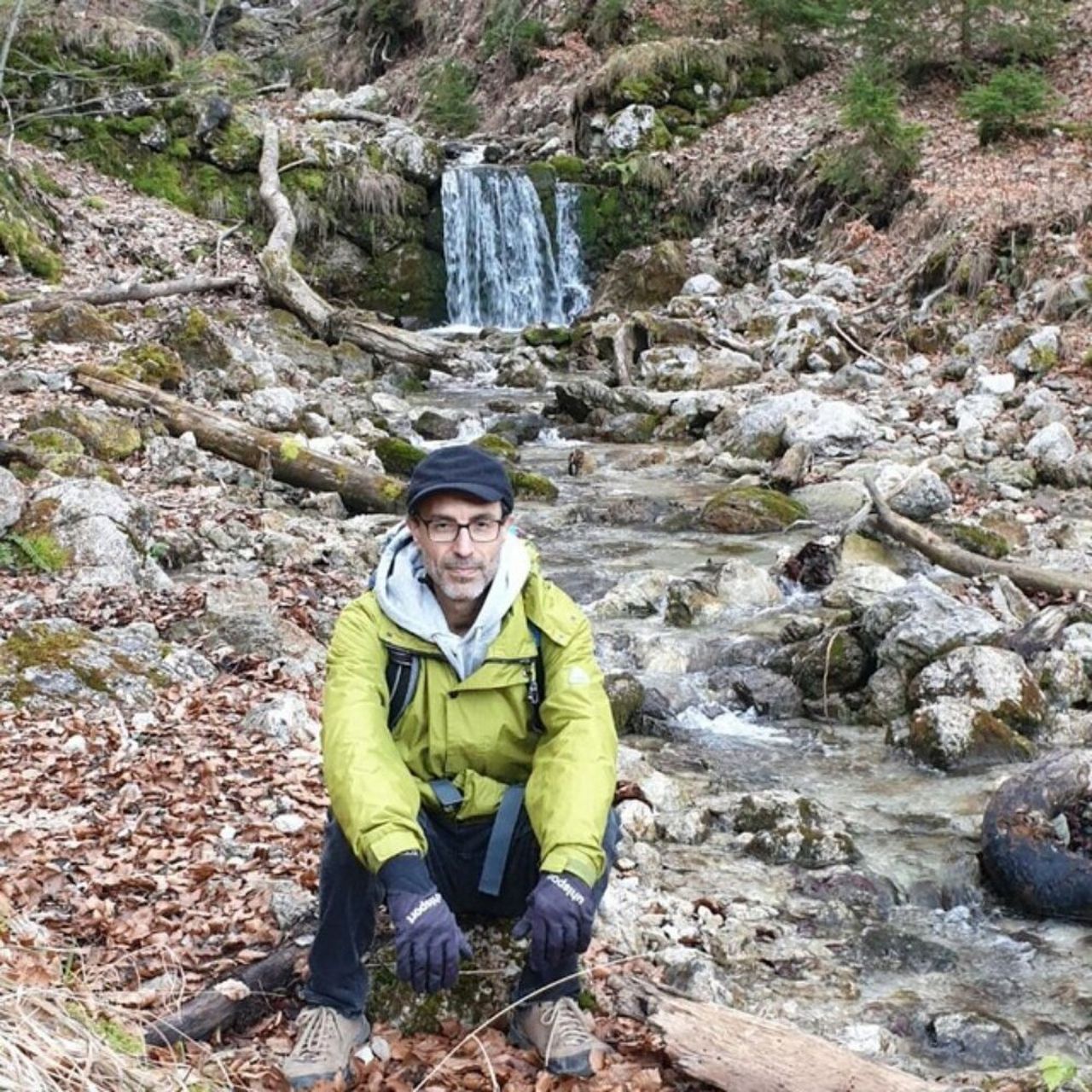
Unterer Stadtplatz – Waldkapelle loop from Kufstein | 1157m
| Elevation gain |
| Elevation loss |
| Distance |
| Duration |
| Highest altitude |
| Rating |
Route Information
Intermediate Hiking Tour. Good fitness required. Mostly accessible paths. Sure-footedness required. The starting point of the Tour is accessible with public transport.
Automatic direction calculation (experimental feature, please provide feedback)
By car: Navigate using Google maps
By public transport:
Train station near start point: Kufstein (0.0 Km from start point)
Bus stop near start point: Kufstein Bahnhof (76 m from start point)
Bus stop near start point: Zellerburgstraße (263 m from start point)
------
Automatic hut detection (experimental feature, please provide feedback)
Aschenbrenner (1135 m):
Website: Homepage
Phone: +43 5372 62220
Location: Google maps
------
| Technical Difficulty | Medium Difficult | |||||||||||
|---|---|---|---|---|---|---|---|---|---|---|---|---|
| Gear | ||||||||||||
| Popularity | 1 | |||||||||||
Route statistics
| Highest point | 1157m | |||||||||||
|---|---|---|---|---|---|---|---|---|---|---|---|---|
| Total gain | 697m | |||||||||||
| Total loss | 697m | |||||||||||
| Duration | 04h05m | |||||||||||
| Distance | 11.8Km | |||||||||||
| Rating | 908 | |||||||||||
Best Season
Forecast
Author