Katzenkopf (1817 m), Königsstand (1453 m) from Garmisch Bhf | 1817m
| Elevation gain |
| Elevation loss |
| Distance |
| Duration |
| Highest altitude |
| Rating |
Route Information
Character: The hike along the Maurersteig to the Königsstand and further to the Katzenkopf is a demanding mountain hike that requires surefootedness and a head for heights. The trail is exposed in places. On the nearly 10 km long route, approximately 1060 meters of altitude difference must be overcome.
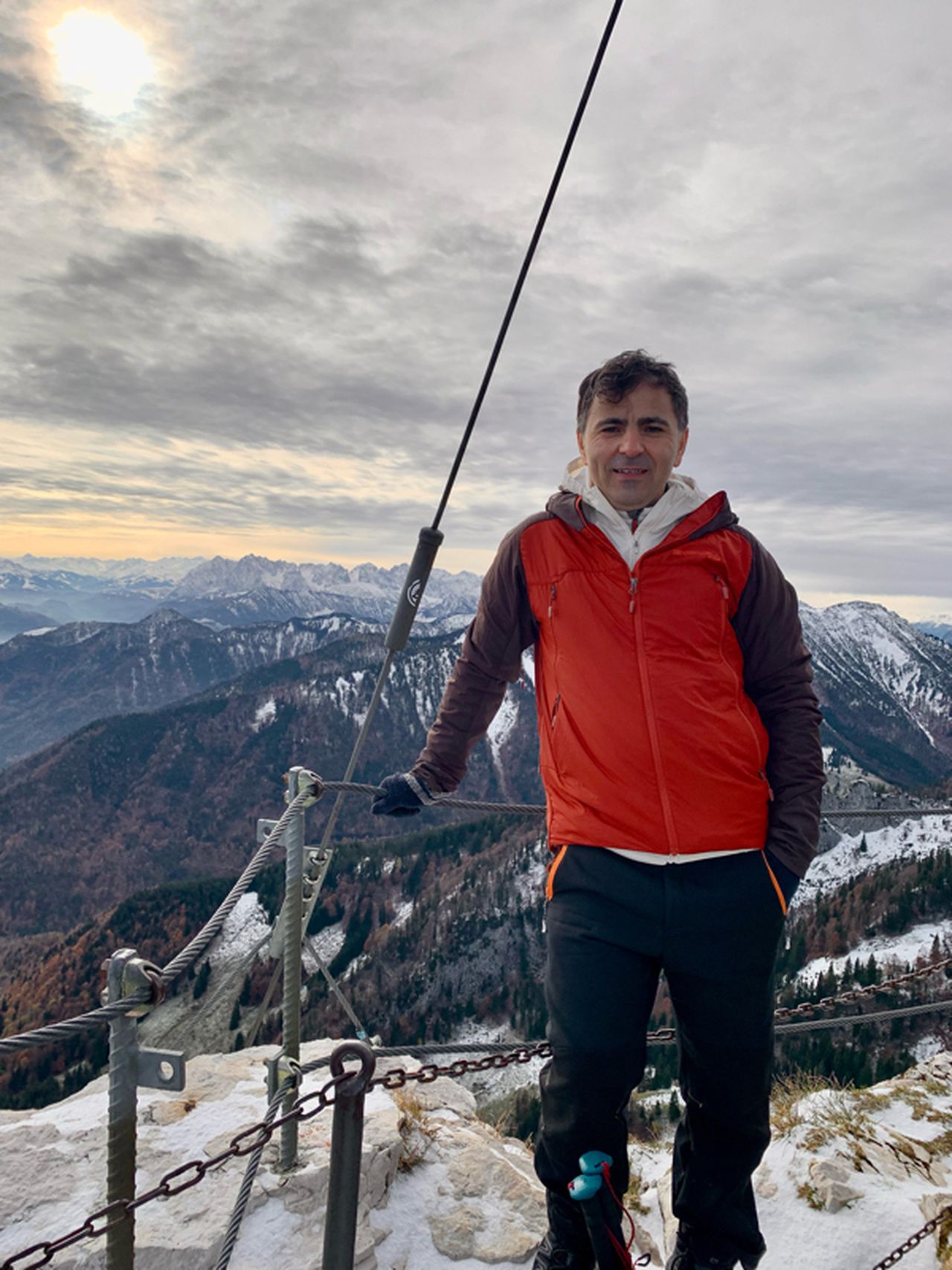
The Katzenkopf near Garmisch offers a splendid view of the Ester and Wetterstein mountain ranges, as well as Garmisch-Partenkirchen and the Loisach Valley. In contrast to its more prominent neighbor, the Kramerspitz, the summit is relatively less frequented. An rewarding yet challenging ascent leads via the Maurersteig and Königsstand routes. However, for those seeking an easier route, there's no need to forgo reaching the summit. The descent route described here is less exposed and can also be used for the ascent. There's also an easier route to Königsstand, as described here. The best way to end the day is on the terrace of St. Martinshütte, along the descent route.
| Technical Difficulty | Medium Difficult | |||||||||||
|---|---|---|---|---|---|---|---|---|---|---|---|---|
| Gear | Hiking Boots , Hiking Poles , Gloves | |||||||||||
| Popularity | 4 | |||||||||||
Route statistics
| Highest point | 1817m | |||||||||||
|---|---|---|---|---|---|---|---|---|---|---|---|---|
| Total gain | 1118m | |||||||||||
| Total loss | 1117m | |||||||||||
| Duration | 05h32m | |||||||||||
| Distance | 14.3Km | |||||||||||
| Rating | 1118 | |||||||||||
Best Season
Forecast
Author