From Bayrischzell to Tegernsee via Hochmiesing | 1883m
| Elevation gain |
| Elevation loss |
| Distance |
| Duration |
| Highest altitude |
| Rating |
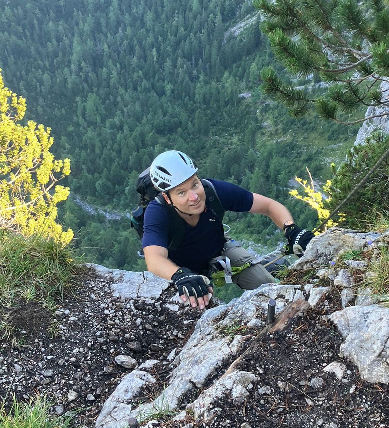
Route Information
| Technical Difficulty | Medium Difficult | |||||||||||
|---|---|---|---|---|---|---|---|---|---|---|---|---|
| Gear | ||||||||||||
| Popularity | 1 | |||||||||||
Route statistics
| Highest point | 1883m | |||||||||||
|---|---|---|---|---|---|---|---|---|---|---|---|---|
| Total gain | 1903m | |||||||||||
| Total loss | 1945m | |||||||||||
| Duration | 15h50m | |||||||||||
| Distance | 35.0Km | |||||||||||
| Rating | 2243 | |||||||||||
Best Season
Forecast
Author