Bischof from Farchant | 2033m
| Elevation gain |
| Elevation loss |
| Distance |
| Duration |
| Highest altitude |
| Rating |
Route Information
Automatic peak(s) detection (experimental feature)
The route passes by the following peaks:
- Bischof (2033 m)
-------
User-provided description:
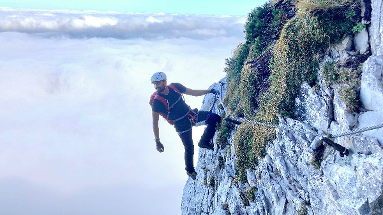
This is a simple route from Farchant to Bischof and is suitable for those days when the weather is not great and you would still like to hike.
By public transport:
You can take a direct train from Munich to Farchant.
| Technical Difficulty | Medium | |||||||||||
|---|---|---|---|---|---|---|---|---|---|---|---|---|
| Gear | Hiking Boots , Hiking Poles | |||||||||||
| Popularity | 1 | |||||||||||
Route statistics
| Highest point | 2033m | |||||||||||
|---|---|---|---|---|---|---|---|---|---|---|---|---|
| Total gain | 1390m | |||||||||||
| Total loss | 1390m | |||||||||||
| Duration | 06h38m | |||||||||||
| Distance | 15.3Km | |||||||||||
| Rating | 1290 | |||||||||||
Best Season
Forecast
Author