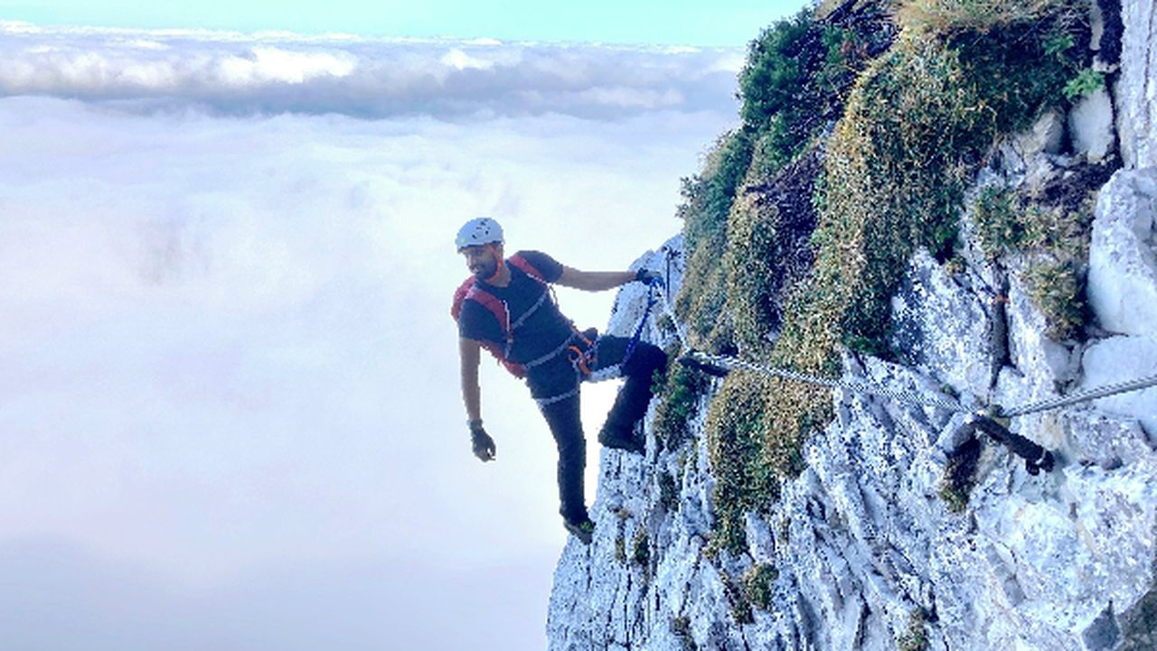
Roter Stein (T4 ascent) | 2366m
| Elevation gain |
| Elevation loss |
| Distance |
| Duration |
| Highest altitude |
| Rating |
Route Information
Automatic peak(s) detection (experimental feature)
The route passes by the following peaks:
- Roter Stein (2366 m)
-------
User provided description:
The route leads to Roter Stein by ascending through the T4 section.
Automatic direction calculation (experimental feature, please provide feedback)
By car: Navigate using Google maps
By public transport:
Train station near start point: Bichlbach-Berwang (0.0 Km from start point)
Bus stop near start point: Bichlbach Dorf (203 m from start point)
Bus stop near start point: Bichlbach Almkopfbahn Bahnhaltestlle (1365 m from start point)
------
| Technical Difficulty | Difficult | |||||||||||
|---|---|---|---|---|---|---|---|---|---|---|---|---|
| Gear | Hiking Boots , Hiking Poles , Helmet , Gloves | |||||||||||
| Popularity | 2 | |||||||||||
Route statistics
| Highest point | 2366m | |||||||||||
|---|---|---|---|---|---|---|---|---|---|---|---|---|
| Total gain | 1332m | |||||||||||
| Total loss | 1332m | |||||||||||
| Duration | 07h23m | |||||||||||
| Distance | 17.1Km | |||||||||||
| Rating | 1362 | |||||||||||
Best Season
Forecast
Author