Civetta Umrundung | 2281m
| Elevation gain |
| Elevation loss |
| Distance |
| Duration |
| Highest altitude |
| Rating |
Route Information
3 day hike around Civetta with overnight stays at Rifugio Tissi and Rifugio Carestiato.
Starting point is the parking lot at Palafavera.
It's mostly a T2 hike with some short parts T3.
Starting and end point is the parking lot at Palafavera.
Automatic hut detection (experimental feature, please provide feedback)
Rifugio Palafavera (1514 m):
Website: Homepage
Wikipedia: Wikipedia page
Location: Google maps
Rifugio Sonino al Coldai
Wikipedia: Wikipedia page
Location: Google maps
Rifugio Attilio Tissi (2250 m):
Wikipedia: Wikipedia page
Location: Google maps
Rifugio Mario Vazzoler (1714 m):
Wikipedia: Wikipedia page
Location: Google maps
Rifugio Bruto Carestiato (1834 m):
Location: Google maps
Rifugio Paseo Duran
Location: Google maps
Rifugio San Sebastiano
Website: Homepage
Location: Google maps
Ristorante Sun Paradis (1862 m):
Location: Google maps
Rifugio Pian del Crep (1765 m):
Location: Google maps
------
| Technical Difficulty | Medium | |||||||||||
|---|---|---|---|---|---|---|---|---|---|---|---|---|
| Gear | Hiking Boots , Hiking Poles | |||||||||||
| Popularity | 1 | |||||||||||
Route statistics
| Highest point | 2281m | |||||||||||
|---|---|---|---|---|---|---|---|---|---|---|---|---|
| Total gain | 2476m | |||||||||||
| Total loss | 2470m | |||||||||||
| Duration | 20h28m | |||||||||||
| Distance | 40.0Km | |||||||||||
| Rating | 2746 | |||||||||||
Best Season
Forecast
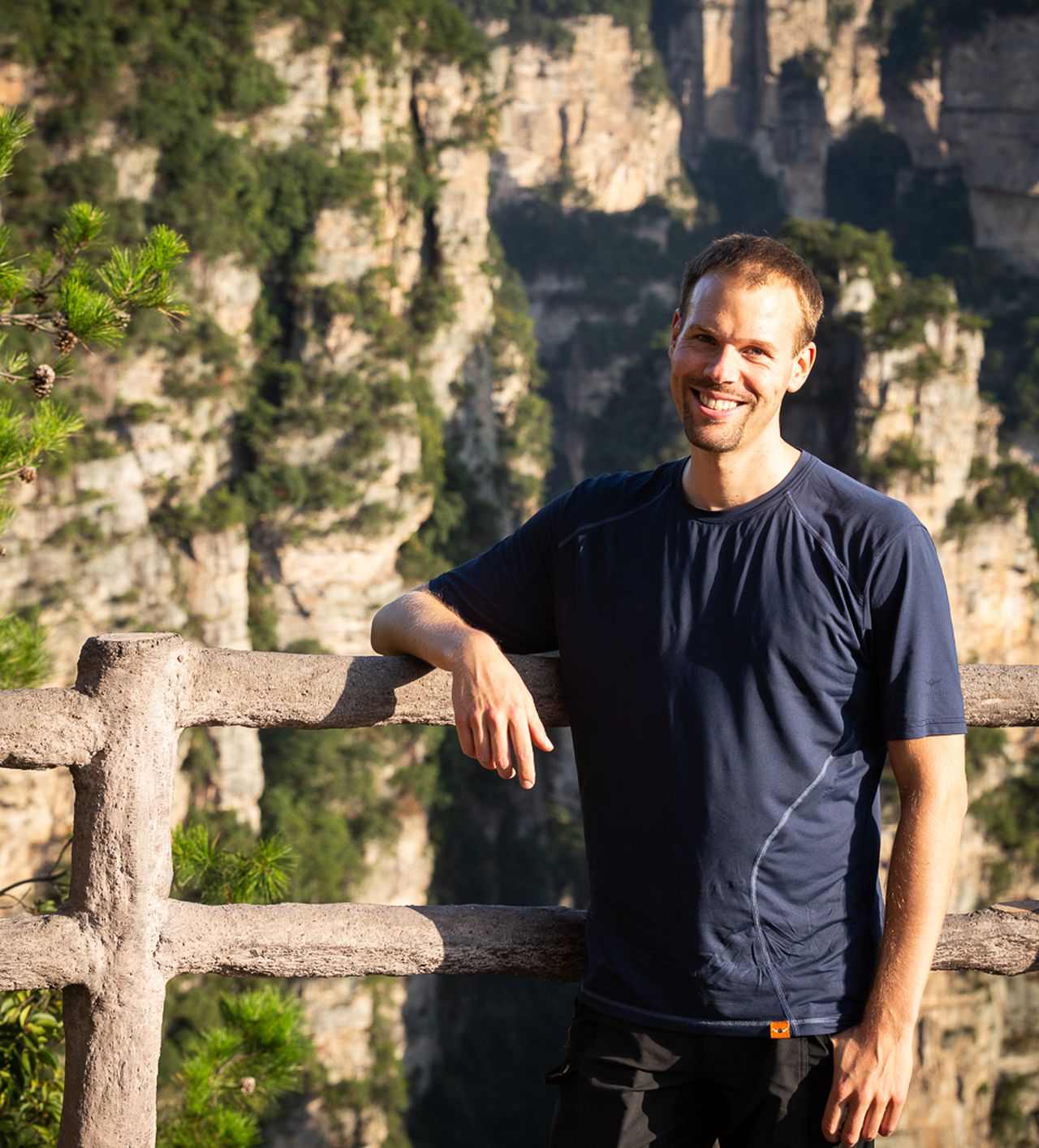
Author