Tegelbergsteig + Fingersteig | 1612m
| Elevation gain |
| Elevation loss |
| Distance |
| Duration |
| Highest altitude |
| Rating |
Route Information
(No description available)
Automatic direction calculation (experimental feature, please provide feedback)
By car: Navigate using Google maps
By public transport:
Train station near start point: Füssen (4.5 Km from start point)
Bus stop near start point: Schwangau Tegelbergbahn (19 m from start point)
------
Automatic hut detection (experimental feature, please provide feedback)
Alpe Reith
Location: Google maps
Tegelberghaus (1707 m):
Website: Homepage
Phone: +4983628980
Location: Google maps
------
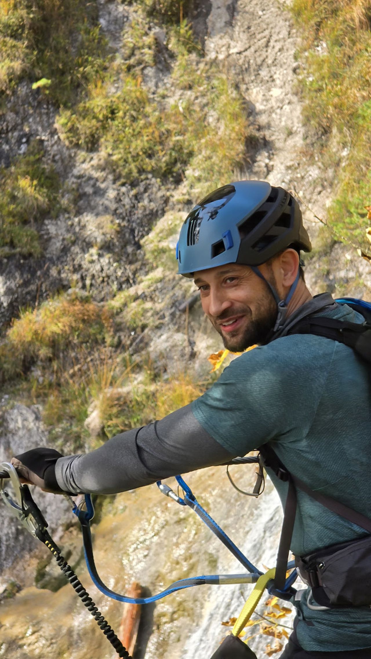
| Technical Difficulty | Very Difficult | |||||||||||
|---|---|---|---|---|---|---|---|---|---|---|---|---|
| Gear | Klettersteig Set | |||||||||||
| Popularity | 2 | |||||||||||
Route statistics
| Highest point | 1612m | |||||||||||
|---|---|---|---|---|---|---|---|---|---|---|---|---|
| Total gain | 875m | |||||||||||
| Total loss | 875m | |||||||||||
| Duration | 03h46m | |||||||||||
| Distance | 7.8Km | |||||||||||
| Rating | 1222 | |||||||||||
Best Season
Forecast
Author