Lake Seealp - meeting point Schwendetalstrasse 73, 9057 Wasserauen, Switzerland | 1215m
| Elevation gain |
| Elevation loss |
| Distance |
| Duration |
| Highest altitude |
| Rating |
Route Information
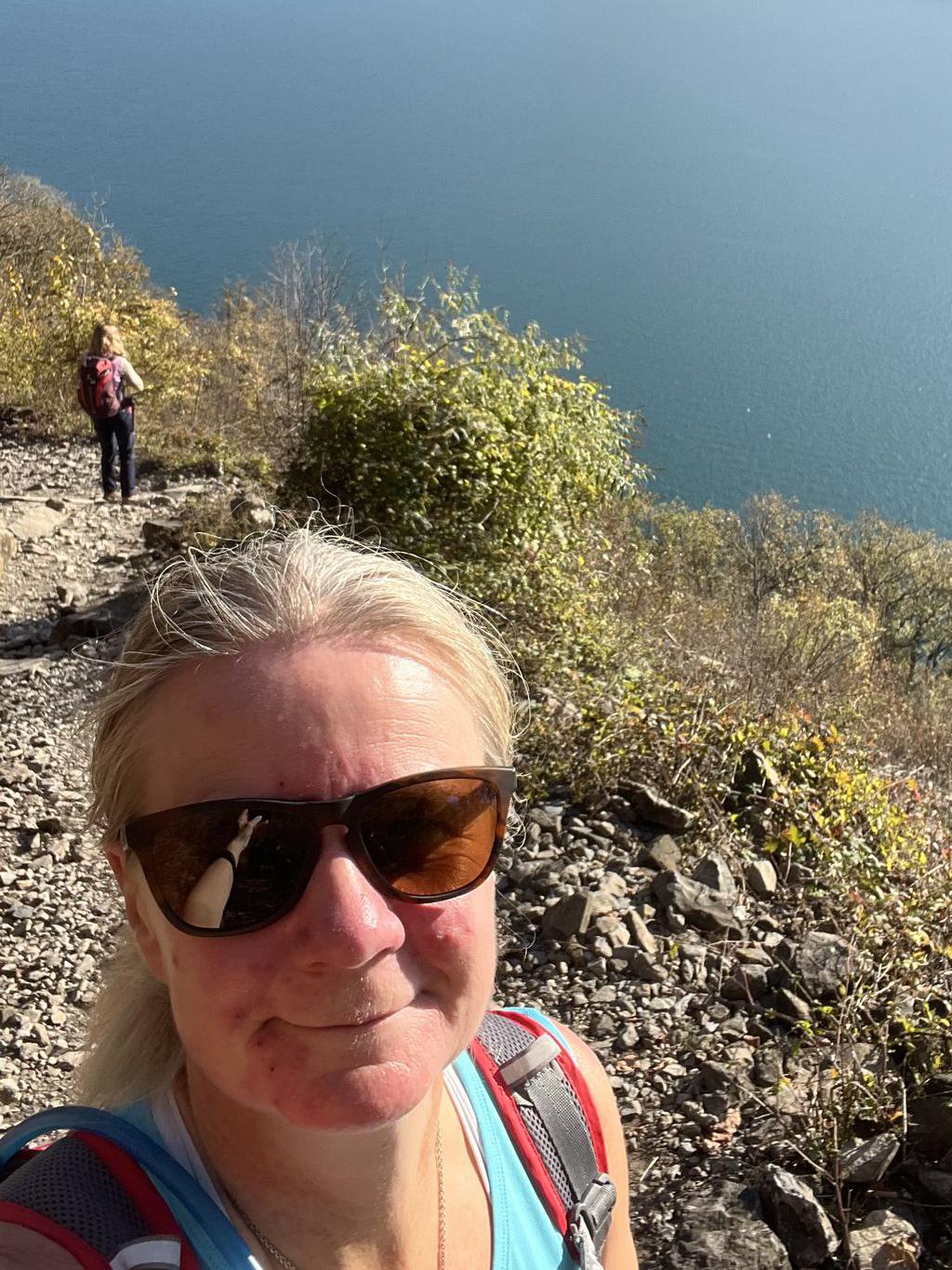
Explore this 8.5-km loop trail near Wasserauen, Appenzell Outer Rhodes. Generally considered a moderately challenging route, it takes an average of 3 h 5 min to complete. This is a very popular area for birding, hiking, and running, so you'll likely encounter other people while exploring. The best times to visit this trail are April through October. Dogs are welcome and may be off-leash in some areas.
By car: Schwendetalstrasse 73, 9057 Wasserauen, Switzerland
By public transport:
Train station near start point: Wasserauen (0.1 Km from start point)
------
Meeting point Schwendetalstrasse 73, 9057 Wasserauen, Switzerland
| Technical Difficulty | Medium | |||||||||||
|---|---|---|---|---|---|---|---|---|---|---|---|---|
| Gear | Hiking Boots | |||||||||||
| Popularity | 1 | |||||||||||
Route statistics
| Highest point | 1215m | |||||||||||
|---|---|---|---|---|---|---|---|---|---|---|---|---|
| Total gain | 420m | |||||||||||
| Total loss | 420m | |||||||||||
| Duration | 02h43m | |||||||||||
| Distance | 8.6Km | |||||||||||
| Rating | 707 | |||||||||||
Best Season
Forecast
Author