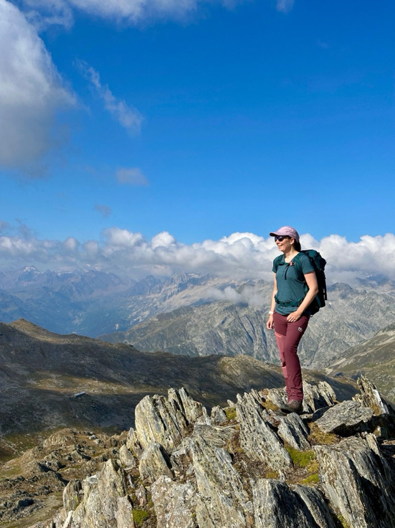
Devils Gorge and Belchenflue T1/T2 | 1099m
| Elevation gain |
| Elevation loss |
| Distance |
| Duration |
| Highest altitude |
| Rating |
Route Information
Automatic peak(s) detection (experimental feature)
The route passes by the following peaks:
- Belchenflue (1099 m)
-------
User provided description:
It's an easy hike, mostly T1, maybe T2
Automatic direction calculation (experimental feature, please provide feedback)
By car: Navigate using Google maps
By public transport:
Train station near start point: Hägendorf (0.1 Km from start point)
Train station near end point: Olten (0.1 Km from end point)
------
Automatic hut detection (experimental feature, please provide feedback)
Naturfreundehaus Rumpel
Opening hours: Su 10:00-17:00
Location: Google maps
------
Chambersberg
| Technical Difficulty | Medium Difficult | |||||||||||
|---|---|---|---|---|---|---|---|---|---|---|---|---|
| Gear | ||||||||||||
| Popularity | 0 | |||||||||||
Route statistics
| Highest point | 1099m | |||||||||||
|---|---|---|---|---|---|---|---|---|---|---|---|---|
| Total gain | 896m | |||||||||||
| Total loss | 929m | |||||||||||
| Duration | 06h43m | |||||||||||
| Distance | 19.0Km | |||||||||||
| Rating | 1264 | |||||||||||
Best Season
Forecast
Author