Erlspitzgruppe ridge and Solstein(e) 2-day hike | 2637m
| Elevation gain |
| Elevation loss |
| Distance |
| Duration |
| Highest altitude |
| Rating |
Route Information
Automatic peak(s) detection (experimental feature)
The route passes by the following peaks:
- Freiungen (W) (2332 m)
- Kuhljochspitze (2297 m)
- Erlspitze (2405 m)
- Kleiner Solstein (2637 m)
- Großer Solstein (2541 m)
-------
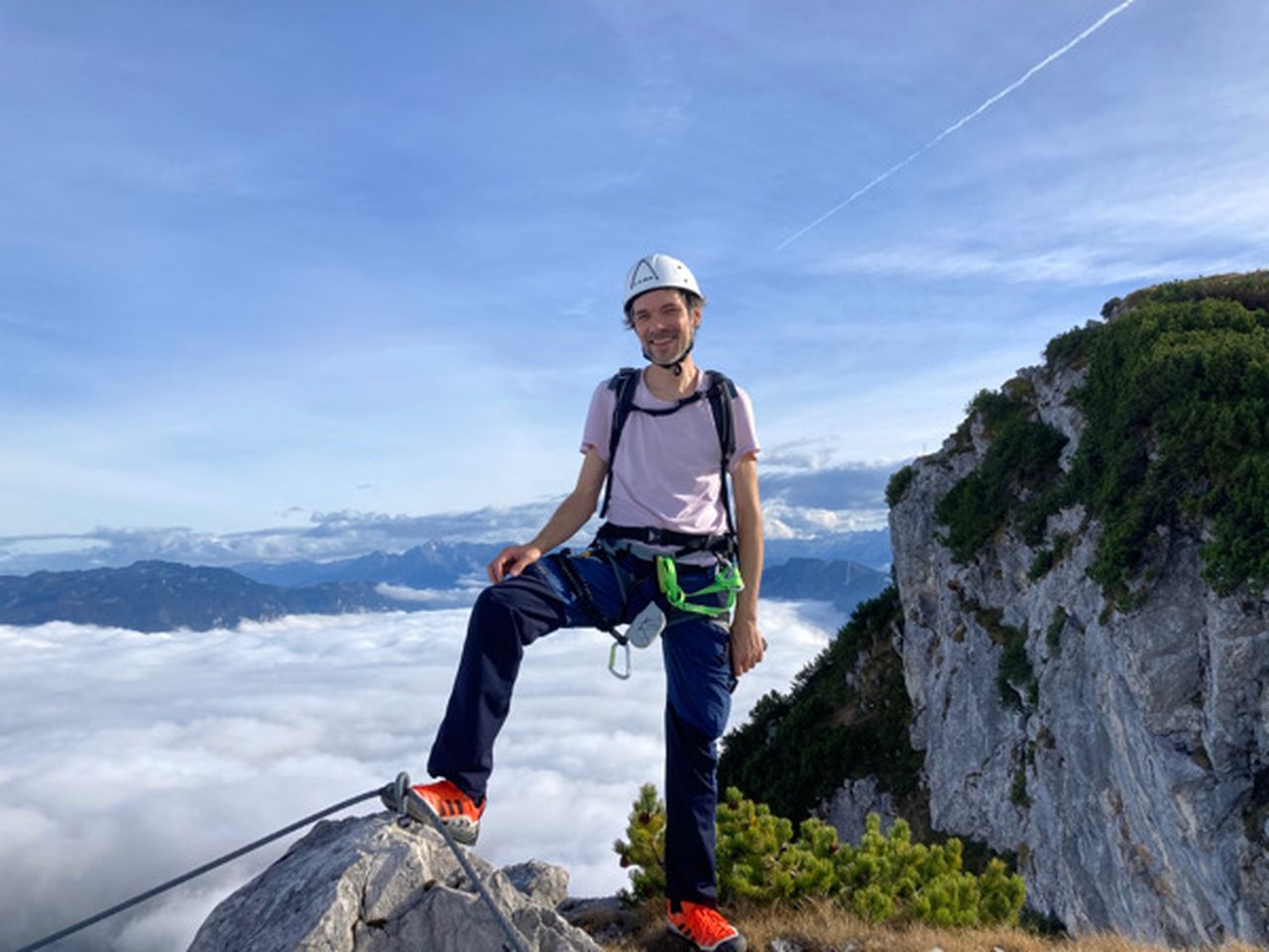
User provided description:
The via ferrata is optional. It is possible to scramble directly over the ridge from Kuhljochspitze to Eppzirler Scharte (UIAA III)
The route is optimized for SEV from Zirl
see https://www.youtube.com/watch?v=HtceN4_YFzQ and https://www.youtube.com/watch?v=u82E8BuxzKo
Automatic direction calculation (experimental feature, please provide feedback)
By car: Navigate using Google maps
By public transport:
Train station near start point: Seefeld in Tirol (0.0 Km from start point)
Bus stop near start point: City Bus (64 m from start point)
Bus stop near start point: Seefeld in Tirol Bahnhof (76 m from start point)
Train station near end point: Hochzirl (0.7 Km from end point)
Bus stop near end point: Zirl Abzw Schwimmbad (589 m from end point)
Bus stop near end point: Hochzirl Bahnhof (642 m from end point)
------
Automatic hut detection (experimental feature, please provide feedback)
Nördlinger Hütte (2238 m):
Website: Homepage
Phone: +436649142262
Wikipedia: Wikipedia page
Location: Google maps
Solsteinhaus (1828 m):
Website: Homepage
Phone: +43523281557
Wikipedia: Wikipedia page
Location: Google maps
Jägerhäusl
Location: Google maps
Neue Magdeburger Hütte (1633 m):
Website: Homepage
Phone: +43523888790
Wikipedia: Wikipedia page
Location: Google maps
Jausenstation Brunntal
Location: Google maps
------
| Technical Difficulty | Medium Difficult | |||||||||||
|---|---|---|---|---|---|---|---|---|---|---|---|---|
| Gear | Hiking Boots , Klettersteig Set , Helmet | |||||||||||
| Popularity | 0 | |||||||||||
Route statistics
| Highest point | 2637m | |||||||||||
|---|---|---|---|---|---|---|---|---|---|---|---|---|
| Total gain | 3068m | |||||||||||
| Total loss | 3592m | |||||||||||
| Duration | 19h58m | |||||||||||
| Distance | 32.8Km | |||||||||||
| Rating | 3074 | |||||||||||
Best Season
Forecast
Author