Erlspitzgruppe ridge and Solstein(e) 2-day hike | 2637m
| Elevation gain |
| Elevation loss |
| Distance |
| Duration |
| Highest altitude |
| Rating |
Route Information
Automatic peak(s) detection (experimental feature)
The route passes by the following peaks:
- Freiungen (W) (2332 m)
- Kuhljochspitze (2297 m)
- Erlspitze (2405 m)
- Kleiner Solstein (2637 m)
- Großer Solstein (2541 m)
-------
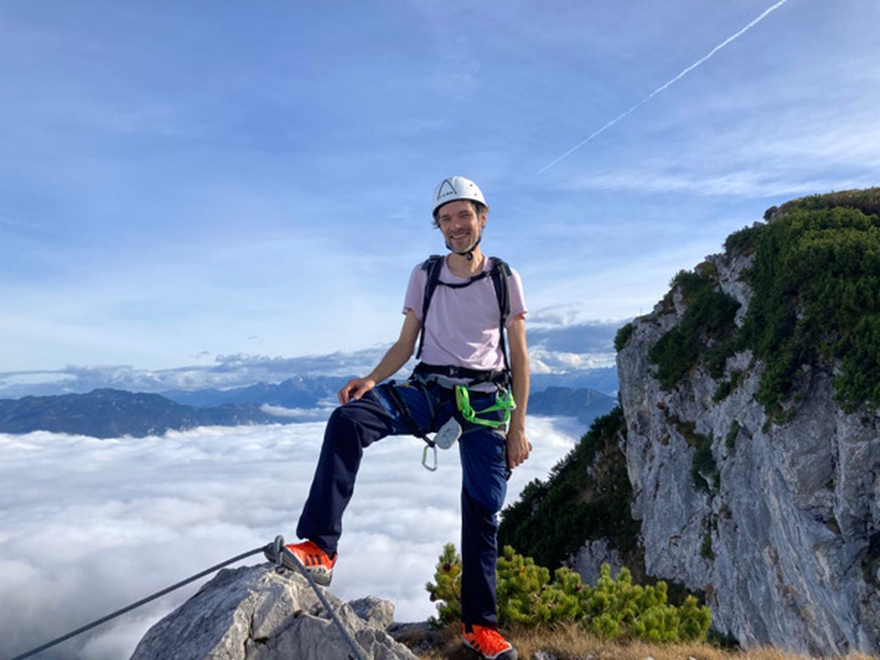
User provided description:
The via ferrata is optional. It is possible to scramble directly over the ridge from Kuhljochspitze to Eppzirler Scharte (UIAA III)
see https://www.youtube.com/watch?v=HtceN4_YFzQ and https://www.youtube.com/watch?v=u82E8BuxzKo
Automatic direction calculation (experimental feature, please provide feedback)
By car: Navigate using Google maps
By public transport:
Train station near start point: Seefeld in Tirol (0.0 Km from start point)
Train station near end point: Hochzirl (0.0 Km from end point)
------
Automatic hut detection (experimental feature, please provide feedback)
Nördlinger Hütte (2238 m):
Website: Homepage
Phone: +436649142262
Wikipedia: Wikipedia page
Location: Google maps
Solsteinhaus (1828 m):
Website: Homepage
Phone: +43523281557
Wikipedia: Wikipedia page
Location: Google maps
Jägerhäusl
Location: Google maps
Neue Magdeburger Hütte (1633 m):
Website: Homepage
Phone: +43523888790
Wikipedia: Wikipedia page
Location: Google maps
Jausenstation Brunntal
Location: Google maps
------
| Technical Difficulty | Difficult | |||||||||||
|---|---|---|---|---|---|---|---|---|---|---|---|---|
| Gear | Hiking Boots , Klettersteig Set , Helmet | |||||||||||
| Popularity | 1 | |||||||||||
Route statistics
| Highest point | 2637m | |||||||||||
|---|---|---|---|---|---|---|---|---|---|---|---|---|
| Total gain | 3848m | |||||||||||
| Total loss | 4076m | |||||||||||
| Duration | 22h12m | |||||||||||
| Distance | 34.2Km | |||||||||||
| Rating | 3567 | |||||||||||
Best Season
Forecast
Author