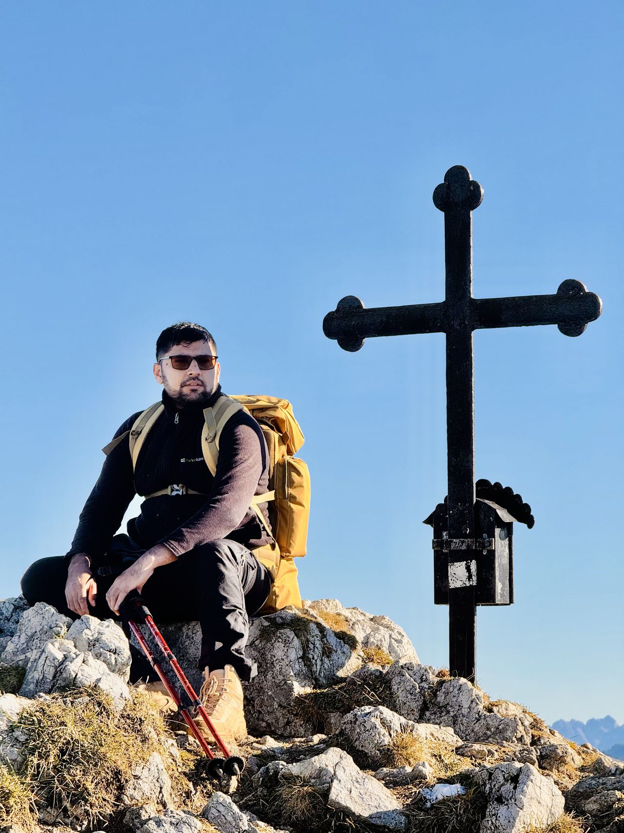
Benediktenwand | 1800m
| Elevation gain |
| Elevation loss |
| Distance |
| Duration |
| Highest altitude |
| Rating |
Route Information
The route passes by the following peaks:
- Benediktenwand (1800 m)
-------
User provided description:
Enter your description ...
*Legal Disclaimer**
I am not a guide. Everybody is responsible for themselves. Make yourself familiar with the route and its requirements. The organizer holds no responsibility for any injuries or death that might result directly or indirectly from this event. The organizer does not warrant the accuracy of the description of the event. By joining the event, you accept the terms explained above. Please be aware that you join at your own risk.
Please read the following carefully before participating in the hike:
1. **Not a Guided Tour**: This hike is not a guided tour. I am only facilitating the organization of transportation to the starting point for like-minded, qualified, properly equipped, and reliable individuals.
2. **Self-Navigation**: Each participant is responsible for navigating themselves on the suggested route. You must have the necessary skills, experience, and equipment to independently complete the hike.
3. **Acknowledgement of Risk**: By joining this hike, you acknowledge that hiking can be dangerous. You understand and accept the inherent risks involved.
4. **Personal Responsibility**: You are fully responsible for your own safety and well-being during the hike. This includes being prepared for all weather conditions, having adequate supplies, and ensuring your physical readiness for the hike.
5. **Insurance**: You confirm that you have sufficient insurance coverage, such as membership with the German Alpine Club (DAV), Mountain Rescue Service (Bergrettung), or a similar organization. This insurance should cover any potential accidents or emergencies that may occur during the hike.
By participating in this hike, you agree to release the organizer from any liability for injuries, accidents, or other incidents that may occur. You participate at your own risk and responsibility.
If you decide to leave the group (go in front by yourself, or stopping for no reason), then we won’t search for you and you officially left the group, it is also the same if you don't bring required gears
*Legal Disclaimer**
I am not a guide. Everybody is responsible for themselves. Make yourself familiar with the route and its requirements. The organizer holds no responsibility for any injuries or death that might result directly or indirectly from this event. The organizer does not warrant the accuracy of the description of the event. By joining the event, you accept the terms explained above. Please be aware that you join at your own risk.
| Technical Difficulty | Medium | |||||||||||
|---|---|---|---|---|---|---|---|---|---|---|---|---|
| Gear | Hiking Boots , Hiking Poles | |||||||||||
| Popularity | 1 | |||||||||||
Route statistics
| Highest point | 1800m | |||||||||||
|---|---|---|---|---|---|---|---|---|---|---|---|---|
| Total gain | 1243m | |||||||||||
| Total loss | 1243m | |||||||||||
| Duration | 06h38m | |||||||||||
| Distance | 16.2Km | |||||||||||
| Rating | 1199 | |||||||||||
Best Season
Forecast
Author