Drachensee-Drachenkopf (Winterhike) | 2303m

Region and route description
Map and directions

Optional information
Add photos

There was still a lot of snow  Hoher Gang and we couldn't do this route with snow shoes. The hoher gang was too steep for snow shoes and the snow was too soft for crampons. Also we turned back to the long path as you see in the route.

From the Ehrwalder Zugspitzbahn we walked along the Ski slope until the Ehrwalder Almbahn. From Ehrwalder Almbahn we started the real hike towards Drachenkopf.

(The Seebenseealm and the Corburger Hütte are closed in the winter), if want to have something to eat or drink do it in the Ehrwalder Alm.

From Ehrwalder Almbahn you you just need the proper hiking boots until Seebensee Alm. From Seebensee Alm to the Corburger Hütte you will need the Snow Shoes and from Corburger Hütte to Drachenkopf you need your proper Crampons.

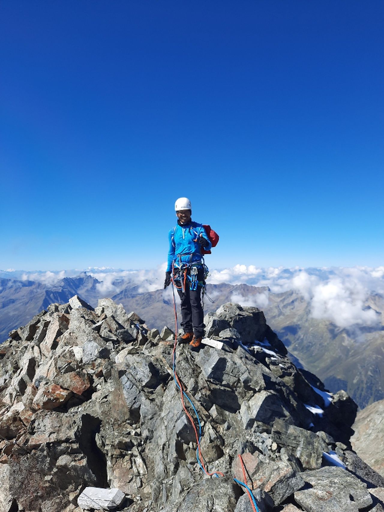
And please be carefull: the wind blows very hard and you need to bring your wind hood. On the ridge was full of old snow and fresh snow. Please think twice where you can step and the stones on the ridge were unstable.

If the ridge is icy you might need the ice axe. If you want to be safer, wearing helmet would be a better option too.


Automatic direction calculation (experimental feature, please provide feedback)


By public transport:
    Train station near start point: Ehrwald Zugspitzbahn (0.0 Km from start point)
    Bus stop near start point: Ehrwald Schmiede (284 m from start point)
    Bus stop near start point: Ehrwald Hotel Feneberg (309 m from start point)

    Train station near end point: Ehrwald Zugspitzbahn (3.4 Km from end point)
    Bus stop near end point: Ehrwald Almbahn (733 m from end point)
------
Automatic hut detection (experimental feature, please provide feedback)

Coburger Hütte (1927 m):
    Website: Homepage
    Phone: +43 6643254714
    Wikipedia: Wikipedia page
    Location: Google maps

Seeben Alm (1566 m):
    Location: Google maps

Ehrwalder Alm (1502 m):
    Location: Google maps

------
Technical Difficulty Medium Difficult
Gear
Popularity 1
Highest point 2303m
Total gain 1826m
Total loss 1551m
Duration 12h47m
Distance 28.7Km
Rating 1890

Maston

ID