Salet (Königsee) - Kärlingerhaus - Riemannhaus - Peter Wiechenthaler Hütte - Saalfelde | 2504m
| Elevation gain |
| Elevation loss |
| Distance |
| Duration |
| Highest altitude |
| Rating |
Route Information
The route passes by the following peaks:
- Breithorn (2504 m)
- Mitterhorn (2491 m)
- Persailhorn (2347 m)
-------
User provided description:
Enter your description ...
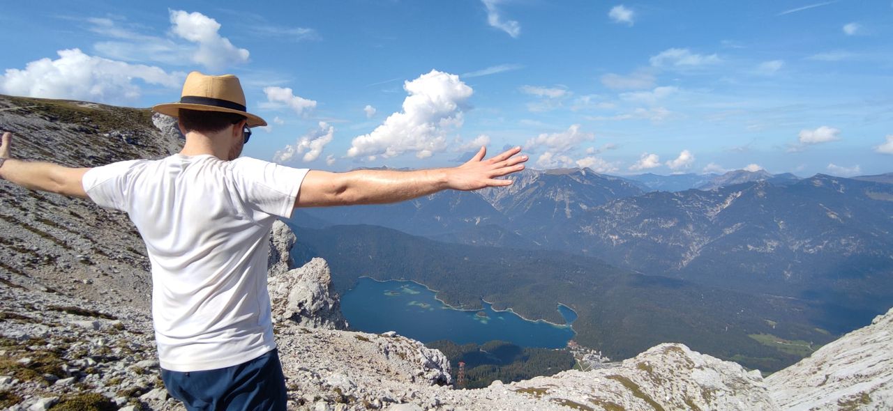
This is a scenic tour starting from famous Berchtesgadener Königssee to Saalfelden im Steinernen Meer.
From Kärlingerhaus (1st Stop) one can decide to move on left side to Schartenkopf (2259 m) to Riemannhaus or right side to Viehkogel or easier to Baumgartl to Riemannhaus. Crossing the impressive stony landscape of Steinernes Meer downwards to Peter-Wiechenthaler Hütte.
From there it is not far to Saalfelden in the Valley.
How to go there:
e.g. from Munich: München HBF Gl. 5 - 10 travel time one way: 3 hours.
BRB RE 5 to Freilassing, BRB S4 to Berchtesgaden HBF, BUS 843 to Königsee, Schönau am Königsee
then you must take the boat:
https://www.seenschifffahrt.de/de/koenigssee/fahrplan/fahrplan/
in the middle season: first run 08.30, then every 30 minuts. beware! the last boat back goes 5 pm (Salet Obersee)
going back from Saalfelden:
you must reach the train at 9.14 pm (otherwise you wont be back in time ....):
last Sbahn: 9.14 pm to München!
webcams for weather conditions:
https://www.foto-webcam.eu/webcam/funtenseetauern/
for reference: Funtenseetauern is on 2578 m.
| Technical Difficulty | Very Difficult | |||||||||||
|---|---|---|---|---|---|---|---|---|---|---|---|---|
| Gear | Hiking Boots , Hiking Poles | |||||||||||
| Popularity | 0 | |||||||||||
Route statistics
| Highest point | 2504m | |||||||||||
|---|---|---|---|---|---|---|---|---|---|---|---|---|
| Total gain | 2395m | |||||||||||
| Total loss | 2275m | |||||||||||
| Duration | 14h00m | |||||||||||
| Distance | 26.9Km | |||||||||||
| Rating | 2444 | |||||||||||
Best Season
Forecast
Author