Automatic peak(s) detection (experimental feature)
The route passes by the following peaks:
-------
User provided description:
Based on my solo hike epxerience from 28.06.2025:
The main highlight of this route is a beautiful view of Mount Blanc and lakes Neuchatel and Bieler (I need to buy a new phone because the pictures don't do it justice 😅). If anyone is looking for a 50km trail that isn't technical, yet avoids roads and settlements as much as possible, I'd recommend it (the start and end lead through towns, with a few villages at the beginning as well). Most of the ascent is in the forest which is nice when it's hot, in-between, there are flat sections that go through countryside. Later, there were some short sections on the ridge that were a bit difficult, especially during a descent to Frinvillier (meaning not suitable for running but nothing really technical), but considering the distance there were very few of them. At the 25th kilometer, 3/4 of the climb is over, so the hardest thing to bear are the sun, as the terrain is from now on mostly exposed, and the distance. Below 1,500 meters it was quite hot, but fortunately there are several restaurants, a hotel and a mountain hut where you can buy water and food. I recommend delicious pies at Jurahouse. Just before Biel/Bienne we go through a nice gorge (Taubenlochschlucht). The ridge part of this route mainly follows the Jura Crest Trail / Jura-Höhenweg (Route #5).
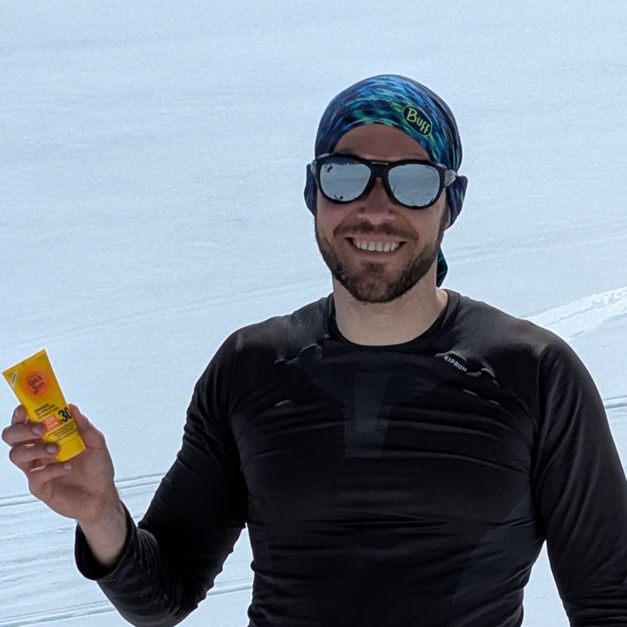
*Useful tip - since you'll be walking in one direction 99% of the time, I strongly recommend putting sunscreen on your nape, shoulders (especially the right one) and the back of your calves or better yet, use a buff to cover your nape. Protect your front in case you'll be going the opposite direction.