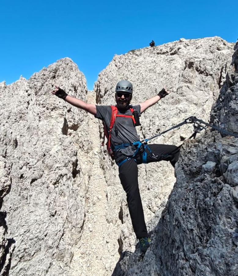
Santnerpass Via ferrata | 2727m
| Elevation gain |
| Elevation loss |
| Distance |
| Duration |
| Highest altitude |
| Rating |
Route Information
Difficulty mostly B, one B/C spot.
Automatic direction calculation (experimental feature, please provide feedback)
By car: Navigate using Google maps
By public transport:
Train station near start point: Station Ruacia (15.7 Km from start point)
------
Automatic hut detection (experimental feature, please provide feedback)
Rifugio Fronza alle Coronelle - Kölnerhütte (2337 m):
Wikipedia: Wikipedia page
Location: Google maps
Santnerpasshütte - Rifugio Passo Santner (2734 m):
Wikipedia: Wikipedia page
Location: Google maps
Gartlhütte - Rifugio Re Alberto (2621 m):
Wikipedia: Wikipedia page
Location: Google maps
Rifugio Vajolet (2243 m):
Website: Homepage
Phone: +39 0462 763292
Opening hours: Jun 20-Sep 20
Wikipedia: Wikipedia page
Location: Google maps
Rifugio Preuss (2243 m):
Wikipedia: Wikipedia page
Location: Google maps
------
| Technical Difficulty | Very Difficult | |||||||||||
|---|---|---|---|---|---|---|---|---|---|---|---|---|
| Gear | Klettersteig Set | |||||||||||
| Popularity | 1 | |||||||||||
Route statistics
| Highest point | 2727m | |||||||||||
|---|---|---|---|---|---|---|---|---|---|---|---|---|
| Total gain | 873m | |||||||||||
| Total loss | 880m | |||||||||||
| Duration | 04h18m | |||||||||||
| Distance | 7.4Km | |||||||||||
| Rating | 1433 | |||||||||||
Best Season
Forecast
Author