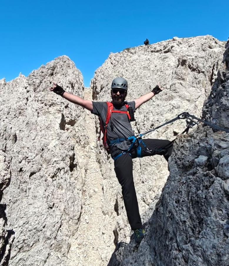
Roda di Vaèl - Rotwand via ferrata | 2806m
| Elevation gain |
| Elevation loss |
| Distance |
| Duration |
| Highest altitude |
| Rating |
Route Information
Automatic peak(s) detection (experimental feature)
The route passes by the following peaks:
- Roda di Vaèl - Rotwand (2806 m)
-------
User provided description:
Enter your description ...
Automatic direction calculation (experimental feature, please provide feedback)
By car: Navigate using Google maps
By public transport:
Train station near start point: Station Ruacia (18.1 Km from start point)
------
Automatic hut detection (experimental feature, please provide feedback)
Rifugio Paolina (2125 m):
Location: Google maps
Baita Marino Pederiva (2280 m):
Wikipedia: Wikipedia page
Location: Google maps
Rifugio Roda di Vael (2283 m):
Website: Homepage
Phone: +39 0462 764450
Opening hours: Jun 28-Oct 16
Wikipedia: Wikipedia page
Location: Google maps
------
| Technical Difficulty | Medium Difficult | |||||||||||
|---|---|---|---|---|---|---|---|---|---|---|---|---|
| Gear | Klettersteig Set | |||||||||||
| Popularity | 1 | |||||||||||
Route statistics
| Highest point | 2806m | |||||||||||
|---|---|---|---|---|---|---|---|---|---|---|---|---|
| Total gain | 671m | |||||||||||
| Total loss | 658m | |||||||||||
| Duration | 03h27m | |||||||||||
| Distance | 6.3Km | |||||||||||
| Rating | 1173 | |||||||||||
Best Season
Forecast
Author