Lobhorn ridge hike (T4) | 2513m
| Elevation gain |
| Elevation loss |
| Distance |
| Duration |
| Highest altitude |
| Rating |
Route Information
Automatic peak(s) detection (experimental feature)
The route passes by the following peaks:
- Schärihubel (2124 m)
- Sulegg (2413 m)
- Schnäbel (2422 m)
- Schwarze Schopf (2285 m)
-------
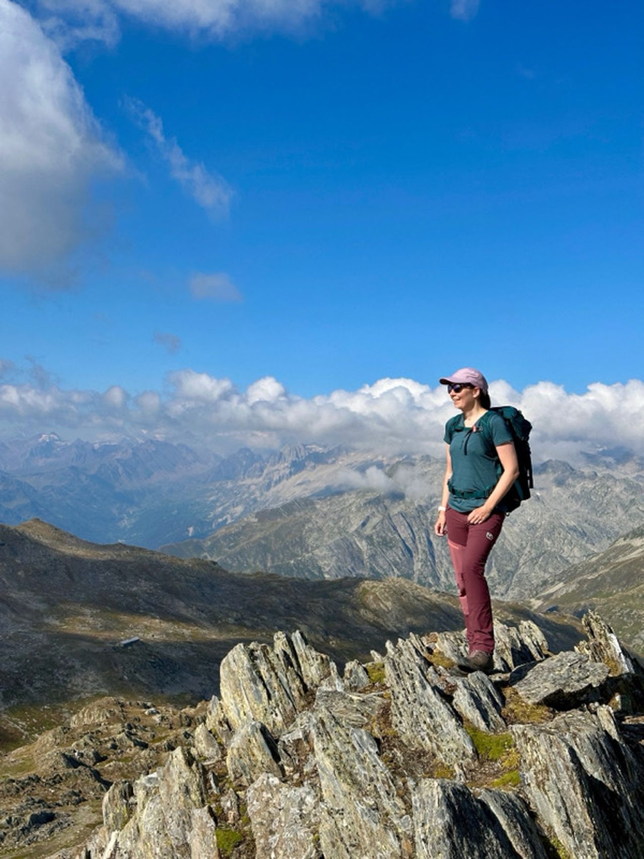
Picture reference: Bernd Jung
Automatic direction calculation (experimental feature, please provide feedback)
By car: Navigate using Google maps
By public transport:
Train station near start point: Zweilütschinen (1.4 Km from start point)
------
Automatic hut detection (experimental feature, please provide feedback)
Lobhorn Hutte (1955 m):
Website: Homepage
Phone: +41 79 656 53 20
Wikipedia: Wikipedia page
Location: Google maps
------
| Technical Difficulty | Medium Difficult | |||||||||||
|---|---|---|---|---|---|---|---|---|---|---|---|---|
| Gear | ||||||||||||
| Popularity | 1 | |||||||||||
Route statistics
| Highest point | 2513m | |||||||||||
|---|---|---|---|---|---|---|---|---|---|---|---|---|
| Total gain | 1122m | |||||||||||
| Total loss | 1122m | |||||||||||
| Duration | 05h53m | |||||||||||
| Distance | 13.2Km | |||||||||||
| Rating | 1096 | |||||||||||
Best Season
Forecast
Author