Sörenberg - Brienzer Rothorn loop (though Lättgässlipass) | 2348m
| Elevation gain |
| Elevation loss |
| Distance |
| Duration |
| Highest altitude |
| Rating |
Route Information
Automatic peak(s) detection (experimental feature)
The route passes by the following peaks:
- Brienzer Rothorn (2348 m)
-------
User provided description:
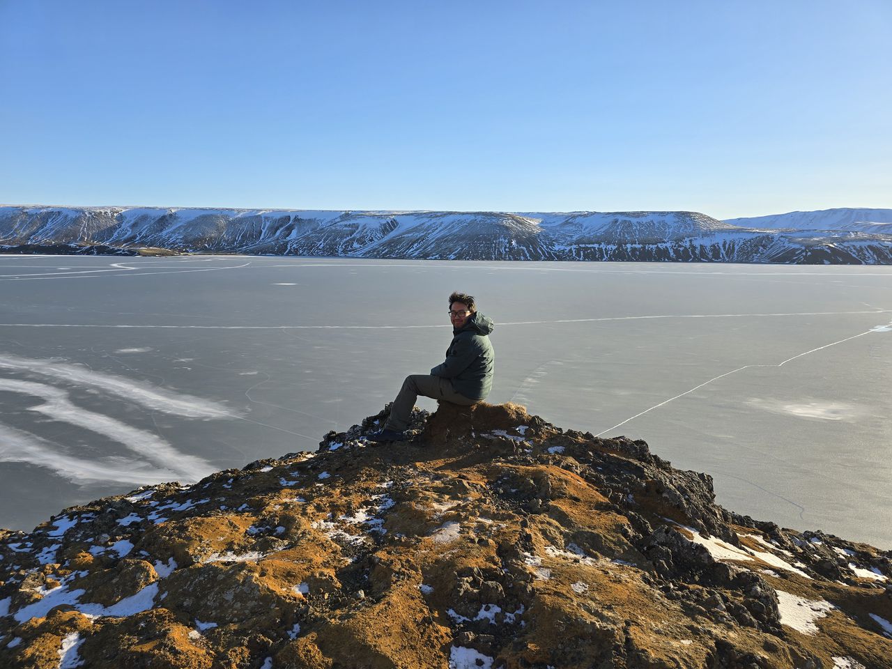
Sörenberg to Brienzer Rothorn through Lättgässlipass, offering a scenic view of Brienzersee. Possibility to take the Luftseilbahn on the way back.
Automatic direction calculation (experimental feature, please provide feedback)
By car: Navigate using Google maps
By public transport:
Bus stop "Sörenberg Post"
------
| Technical Difficulty | Medium | |||||||||||
|---|---|---|---|---|---|---|---|---|---|---|---|---|
| Gear | Hiking Boots , Hiking Poles | |||||||||||
| Popularity | 0 | |||||||||||
Route statistics
| Highest point | 2348m | |||||||||||
|---|---|---|---|---|---|---|---|---|---|---|---|---|
| Total gain | 1225m | |||||||||||
| Total loss | 1225m | |||||||||||
| Duration | 07h26m | |||||||||||
| Distance | 18.2Km | |||||||||||
| Rating | 1252 | |||||||||||
Best Season
Forecast
Author