Farchant - Hoher Fricken - Wank- Garmisch | 1940m
| Elevation gain |
| Elevation loss |
| Distance |
| Duration |
| Highest altitude |
| Rating |
Route Information
Automatic peak(s) detection (experimental feature)
The route passes by the following peaks:
- Hoher Fricken (1940 m)
- Wank (1780 m)
-------
User provided description:
Enter your description ...
Automatic direction calculation (experimental feature, please provide feedback)
By car: Navigate using Google maps
By public transport:
Train station near start point: Farchant (0.2 Km from start point)
Bus stop near start point: Farchant, Maibaum (198 m from start point)
Train station near end point: Garmisch-Partenkirchen (0.1 Km from end point)
Bus stop near end point: Achenfeldstraße (377 m from end point)
Bus stop near end point: Chamonixstraße (384 m from end point)
------
Automatic hut detection (experimental feature, please provide feedback)
Wank-Haus (1780 m):
Url: Homepage
Phone: +49882156201
Wikipedia: Wikipedia page
Location: Google maps
------
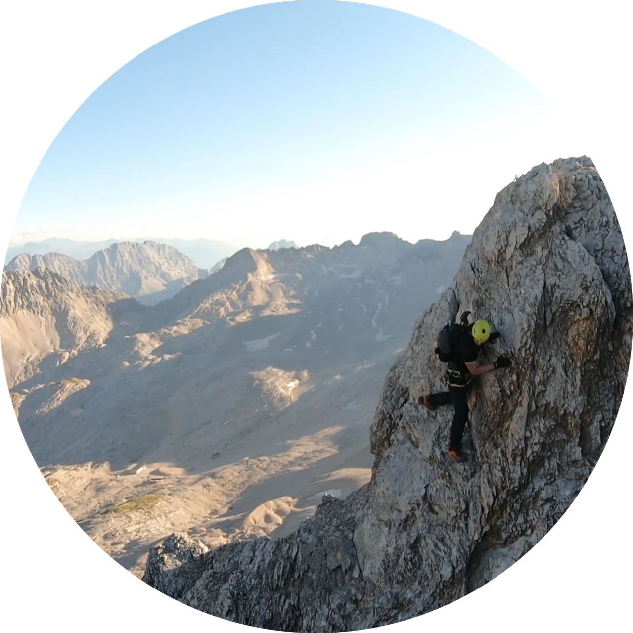
- It's a relatively unused trail with relatively difficult terrain (both up and down on Hoher Fricken) so not for begginers.
I would rate it as T4 not T3.
Wank part is easy and suitable for fit beginners.
I would rate it as T4 not T3.
Wank part is easy and suitable for fit beginners.
| Technical Difficulty | Medium | |||||||||||
|---|---|---|---|---|---|---|---|---|---|---|---|---|
| Gear | Hiking Boots | |||||||||||
| Popularity | 1 | |||||||||||
Route statistics
| Highest point | 1940m | |||||||||||
|---|---|---|---|---|---|---|---|---|---|---|---|---|
| Total gain | 1801m | |||||||||||
| Total loss | 1763m | |||||||||||
| Duration | 09h02m | |||||||||||
| Distance | 19.3Km | |||||||||||
| Rating | 1563 | |||||||||||
Best Season
Forecast
Author