(Grosser) Riesenkopf | 1337m
| Elevation gain |
| Elevation loss |
| Distance |
| Duration |
| Highest altitude |
| Rating |
Route Information
- option to go to „Maiwand“
- would recommend to eat/drink something at Berggasthof Petersberg (on the way back)
with the above mentioned options the Tour will increase to 1.000 hm
Automatic direction calculation (experimental feature, please provide feedback)
By car: Navigate using Google maps
By public transport:
Train station near start point: Flintsbach (0.7 Km from start point)
Bus stop near start point: Flintsbach - Feuerwehrhaus (407 m from start point)
------
Hohe Asten, http://www.hoheasten.de
Berggasthof Petersberg, https://www.berggasthaus-petersberg.de/
| Technical Difficulty | Medium | |||||||||||
|---|---|---|---|---|---|---|---|---|---|---|---|---|
| Gear | ||||||||||||
| Popularity | 2 | |||||||||||
Route statistics
| Highest point | 1337m | |||||||||||
|---|---|---|---|---|---|---|---|---|---|---|---|---|
| Total gain | 891m | |||||||||||
| Total loss | 900m | |||||||||||
| Duration | 04h40m | |||||||||||
| Distance | 12.7Km | |||||||||||
| Rating | 1023 | |||||||||||
Best Season
Forecast
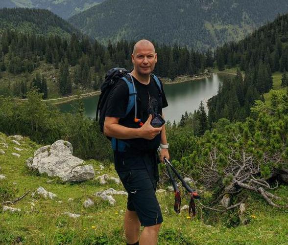
Author