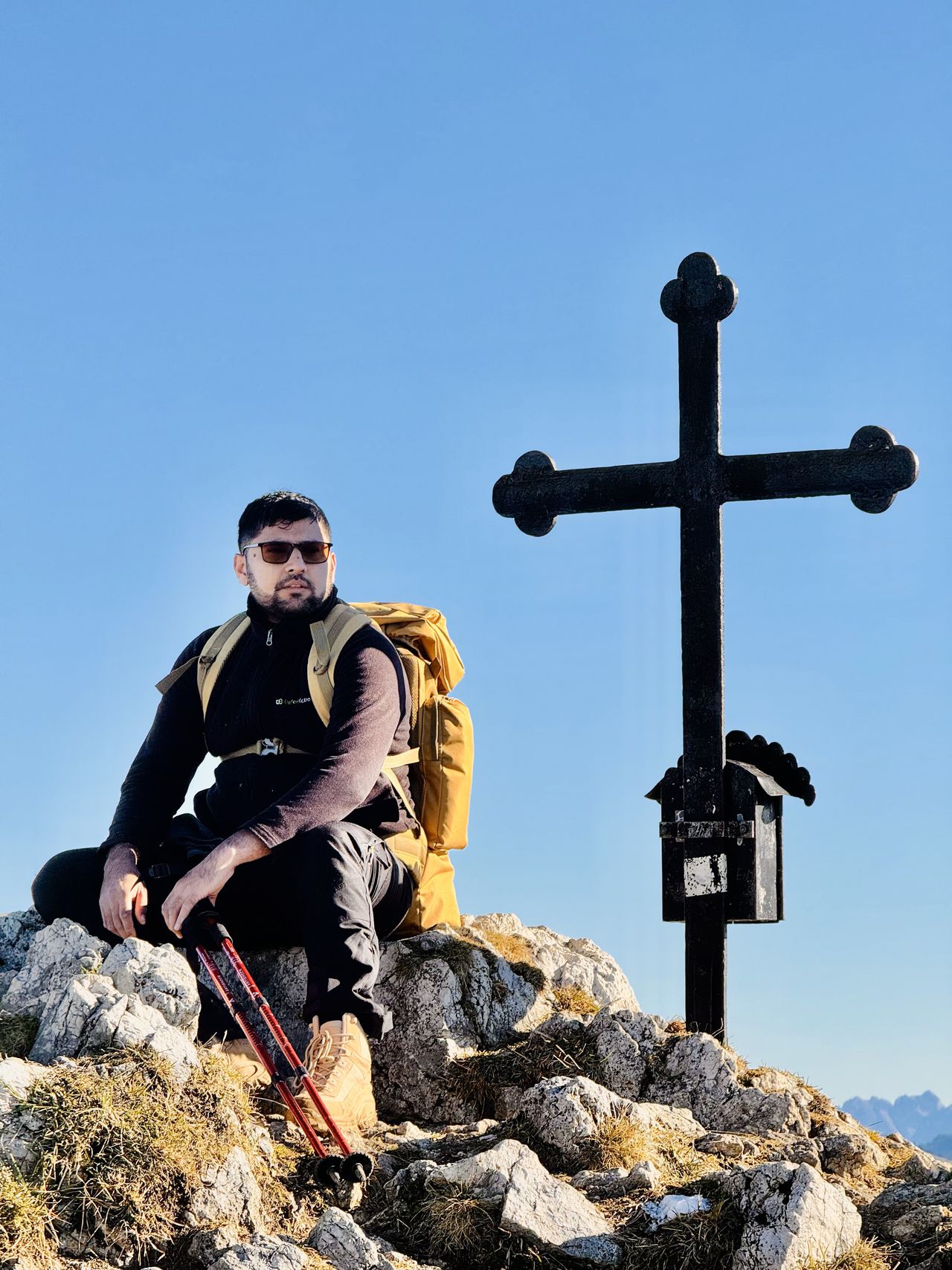
Roßkopf & Stolzenberg | 1609m
| Elevation gain |
| Elevation loss |
| Distance |
| Duration |
| Highest altitude |
| Rating |
Route Information
Automatic peak(s) detection (experimental feature)
The route passes by the following peaks:
- Roßkopf (1579 m)
- Stolzeneck (1604 m)
- Stolzenberg (1609 m)
-------
User provided description:
Enter your description ...
Automatic direction calculation (experimental feature, please provide feedback)
By car: Navigate using Google maps
By public transport:
Train station near start point: Fischhausen-Neuhaus (5.1 Km from start point)
Bus stop near start point: Spitzingsee Kirche (20 m from start point)
------
Automatic hut detection (experimental feature, please provide feedback)
Stümpfling Alm
Location: Google maps
Albert-Link-Hütte (1053 m):
Phone: +49802671264
Wikipedia: Wikipedia page
Location: Google maps
------
| Technical Difficulty | Easy | |||||||||||
|---|---|---|---|---|---|---|---|---|---|---|---|---|
| Gear | Hiking Boots , Hiking Poles , Gloves | |||||||||||
| Popularity | 1 | |||||||||||
Route statistics
| Highest point | 1609m | |||||||||||
|---|---|---|---|---|---|---|---|---|---|---|---|---|
| Total gain | 675m | |||||||||||
| Total loss | 675m | |||||||||||
| Duration | 03h52m | |||||||||||
| Distance | 10.7Km | |||||||||||
| Rating | 854 | |||||||||||
Best Season
Forecast
Author