Grünstein (2.661 m) Mieminger Kette | 2661m
| Elevation gain |
| Elevation loss |
| Distance |
| Duration |
| Highest altitude |
| Rating |
Route Information
Automatic peak(s) detection (experimental feature)
The route passes by the following peaks:
- Grünstein (2661 m)
-------
User provided description:
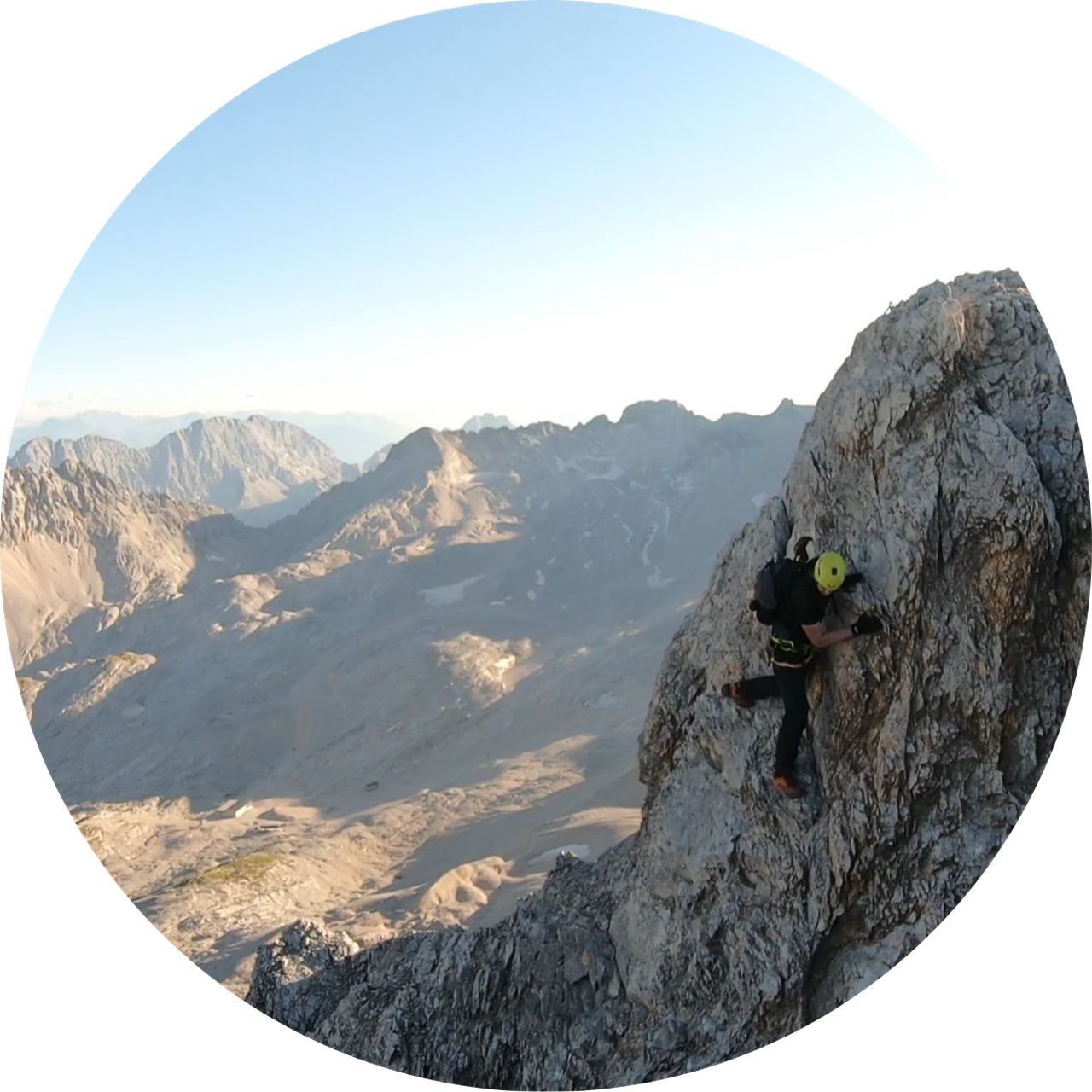
This is a propper unmarked alpine route, only for experienced alpinists/climbers!
T5+ / UIAA II+
Automatic direction calculation (experimental feature, please provide feedback)
By car: Navigate using Google maps
By public transport:
Train station near start point: Lermoos (3.7 Km from start point)
Bus stop near start point: Biberwier - Marienberg (12 m from start point)
Bus stop near start point: Biberwier Silberleiten (441 m from start point)
------
| Technical Difficulty | Medium | |||||||||||
|---|---|---|---|---|---|---|---|---|---|---|---|---|
| Gear | Hiking Boots , Helmet , Gloves , Ropes | |||||||||||
| Popularity | 0 | |||||||||||
Route statistics
| Highest point | 2661m | |||||||||||
|---|---|---|---|---|---|---|---|---|---|---|---|---|
| Total gain | 1604m | |||||||||||
| Total loss | 1604m | |||||||||||
| Duration | 09h07m | |||||||||||
| Distance | 19.3Km | |||||||||||
| Rating | 1519 | |||||||||||
Best Season
Forecast
Author