This is a massive, 95 km point-to-point endurance route connecting the canton of Uri to the center of Zurich. Due to the extreme distance, it is highly recommended to split this route into a 2-day expedition, with an overnight stop planned near the midway point between Schwyz and Lake Zurich.
Trail Highlights & Waypoints:
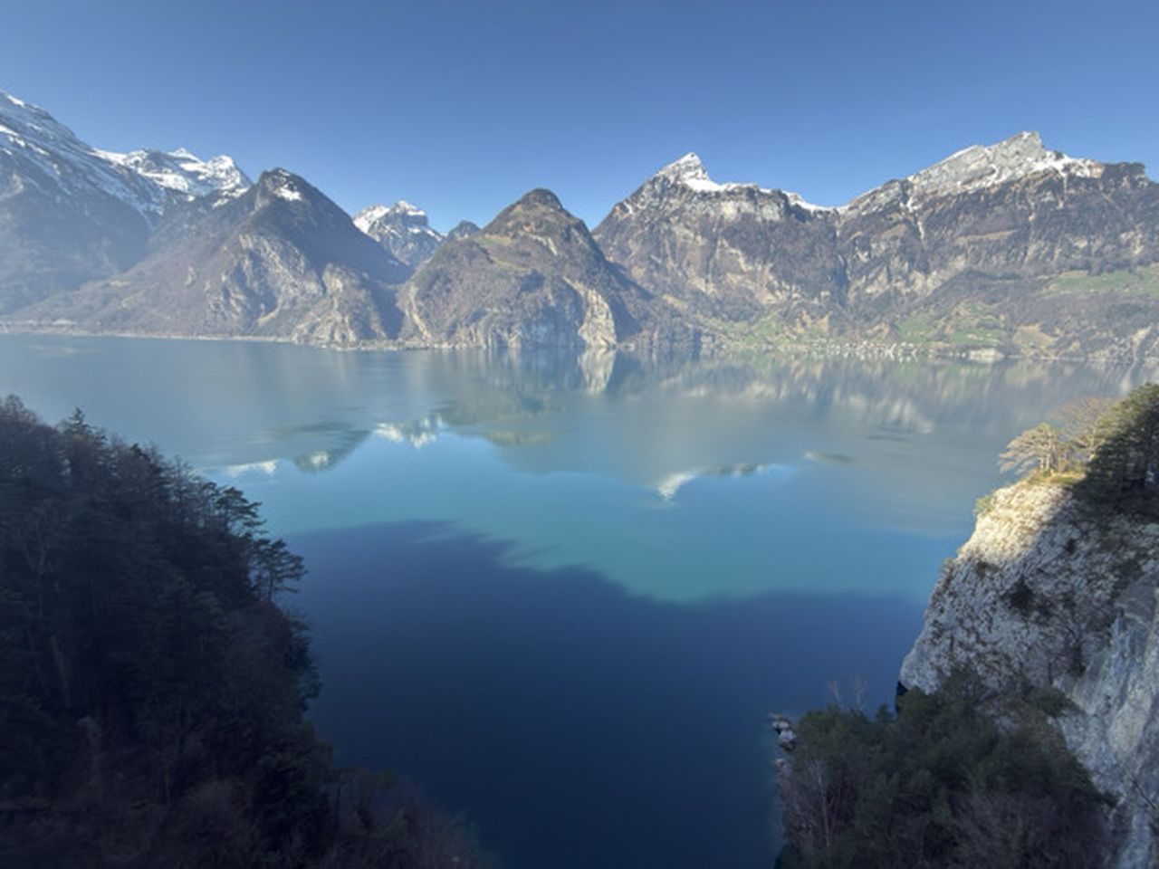
Section 1 (The Fjord): The route begins at Altdorf UR train station and immediately joins the famous 'Weg der Schweiz' (Swiss Path), following the stunning shores of the Urnersee through Flüelen, Sisikon, and into Brunnen.
Section 2 (The Lakes & Valleys): From Brunnen, the trail cuts north through Schwyz, pushing across the canton's valleys and climbing toward the southern banks of Lake Zurich.
Section 3 (The Final Push): The home stretch. The route meets the shores of Lake Zurich and follows the water all the way into the city center to the final destination.
Terrain & Difficulty: While the trail consists mostly of well-maintained gravel paths, paved lakeside walkways, and forest trails, the sheer distance makes this a severe physical challenge. There are major elevation climbs early in the route, totalling a staggering 2811m of elevation gain across the entire journey.
Connection: Both the start (Altdorf) and finish (Zurich HB) have excellent SBB train connections.