Cima della Trosa | 1869m
| Elevation gain |
| Elevation loss |
| Distance |
| Duration |
| Highest altitude |
| Rating |
Route Information
The route passes by the following peaks:
- Cima della Trosa (1869 m)
- Cimetta (1671 m)
-------
User provided description:
Tagestour: Locarno → Cimetta → Cima della Trosa
Die Tour führt von Locarno (200 m) hoch zur Cimetta (1671 m) und weiter auf den Gipfel der Cima della Trosa (1869 m) – ein lohnender Aussichtspunkt mit Panorama auf den Lago Maggiore, das Tessiner Bergland und bei guter Sicht bis zum Monte Rosa Massiv und dem Matterhorn. Der Abstieg erfolgt zurück zur Cimetta und von dort per Seilbahn oder Gleitschirm nach Locarno. Alternativ kann der Aufstieg auch etwas später gestartet und per Seilbahn abgekürzt werden.
Weitere Infos & Routenbeschreibungen:
- Seilbahn: https://www.cardada.ch/de/fahrplan-preise/preise, https://www.cardada.ch/de/fahrplan-preise/fahrplan
- Wanderkarte: https://www.cardada.ch/media/118791/CA_Mappa-Sentieri-2022-Web-DE.jpg
Unterwegs gibt es schöne Rastplätze mit Aussicht – ideal für ein Picknick aus dem Rucksack. Die Cima della Trosa ist als optionaler Gipfel geplant; je nach Wetter und Kondition kann die Route ab Cimetta auch abgekürzt werden.
Notwendige Ausrüstung
- Feste Wanderschuhe (T3-tauglich)
- Stöcke (empfohlen)
- Dem Wetter entsprechende Kleidung
- Genug Verpflegung und Getränke
- Sonnencreme
- GPS/Karte mit der Route
Wichtige Hinweise
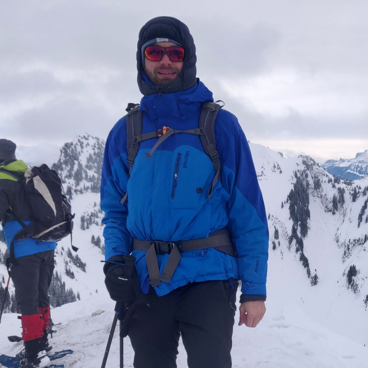
- Kondition: Solide Grundkondition. Aufstieg komplett zu Fuss ca. 1700 Hm, T3. Ab Cimetta ca. 200 Hm bis zum Gipfel, leicht ausgesetzt.
- Seilbahn: Offen 8:45–16:45. Wird nur für den Abstieg genutzt – rechtzeitig bei der Bergstation sein.
- Wetter: Sonne mit 5–15°C erwartet. Bitte Prognosen beobachten und individuell entscheiden.
Disclaimer Ich bin kein professioneller Guide. Jede Person ist selbst verantwortlich für ihre Sicherheit, Ausrüstung und Entscheidungen. Dies ist keine geführte Tour, sondern eine gemeinsame Aktivität. Versicherung für Bergrettung und Unfälle liegt in der Verantwortung der Teilnehmenden.
Day Hike: Locarno → Cimetta → Cima della Trosa
This tour climbs from Locarno (200m) up to Cimetta (1671m) and onwards to the summit of Cima della Trosa (1869m) – a rewarding viewpoint with panoramic views over Lake Maggiore, the Ticino mountains, and in clear conditions as far as the Monte Rosa massif and the Matterhorn. The descent returns to Cimetta, from where you take the cable car or paraglider back down to Locarno. Alternatively, the ascent can be started a little later and the cable car used to shorten the uphill section.
Further information & route descriptions:
- Cable car: https://www.cardada.ch/de/fahrplan-preise/preise, https://www.cardada.ch/de/fahrplan-preise/fahrplan
- Trail map: https://www.cardada.ch/media/118791/CA_Mappa-Sentieri-2022-Web-DE.jpg
There are several great spots along the way for a snack from your backpack. The Cima della Trosa summit is planned as an optional extension – depending on weather and energy levels, the route can also be cut short at Cimetta.
Required Equipment
- Sturdy hiking boots (T3-rated)
- Trekking poles (recommended)
- Clothing appropriate to the weather
- Sufficient food and water
- Sunscreen
- GPS/map with the route
Important Notes
- Fitness: Solid basic fitness required. Full ascent on foot approx. 1700 Hm, T3. From Cimetta approx. 200 Hm to the summit, mildly exposed.
- Cable car: Open 08:45–16:45. Used for descent only – make sure to reach the top station in time.
- Weather: Sun with 5–15°C expected. Please monitor the forecast and decide individually whether conditions are suitable.
Disclaimer I am not a professional guide. Each participant is responsible for their own safety, equipment, and decisions, and must assess in advance whether they are capable of completing the tour safely. This is not a guided tour but a shared group activity. Insurance for mountain rescue or accidents is the sole responsibility of the participants.
Anreise ab Zürich
Ab 07:05 Zürich HB Gleis 8 (IC 2 861, Richtung: Lugano) An 08:42 Bellinzona Gleis 3 Ab 08:49 Bellinzona Gleis 3 (S 20 25633, Richtung: Locarno) (7 Min. Umsteigen) An 09:15 Locarno Gleis 3
Tickets & Verbindungen: sbb.ch
Getting There from Zurich
Dep. 07:05 Zürich HB platform 8 (IC 2 861, direction: Lugano) Arr. 08:42 Bellinzona platform 3 Dep. 08:49 Bellinzona platform 3 (S 20 25633, direction: Locarno) (7 min. transfer) Arr. 09:15 Locarno platform 3
| Technical Difficulty | Medium Difficult | |||||||||||
|---|---|---|---|---|---|---|---|---|---|---|---|---|
| Gear | Hiking Boots , Hiking Poles | |||||||||||
| Popularity | 1 | |||||||||||
Route statistics
| Highest point | 1869m | |||||||||||
|---|---|---|---|---|---|---|---|---|---|---|---|---|
| Total gain | 1814m | |||||||||||
| Total loss | 368m | |||||||||||
| Duration | 06h10m | |||||||||||
| Distance | 13.5Km | |||||||||||
| Rating | 1375 | |||||||||||
Best Season
Forecast
Author