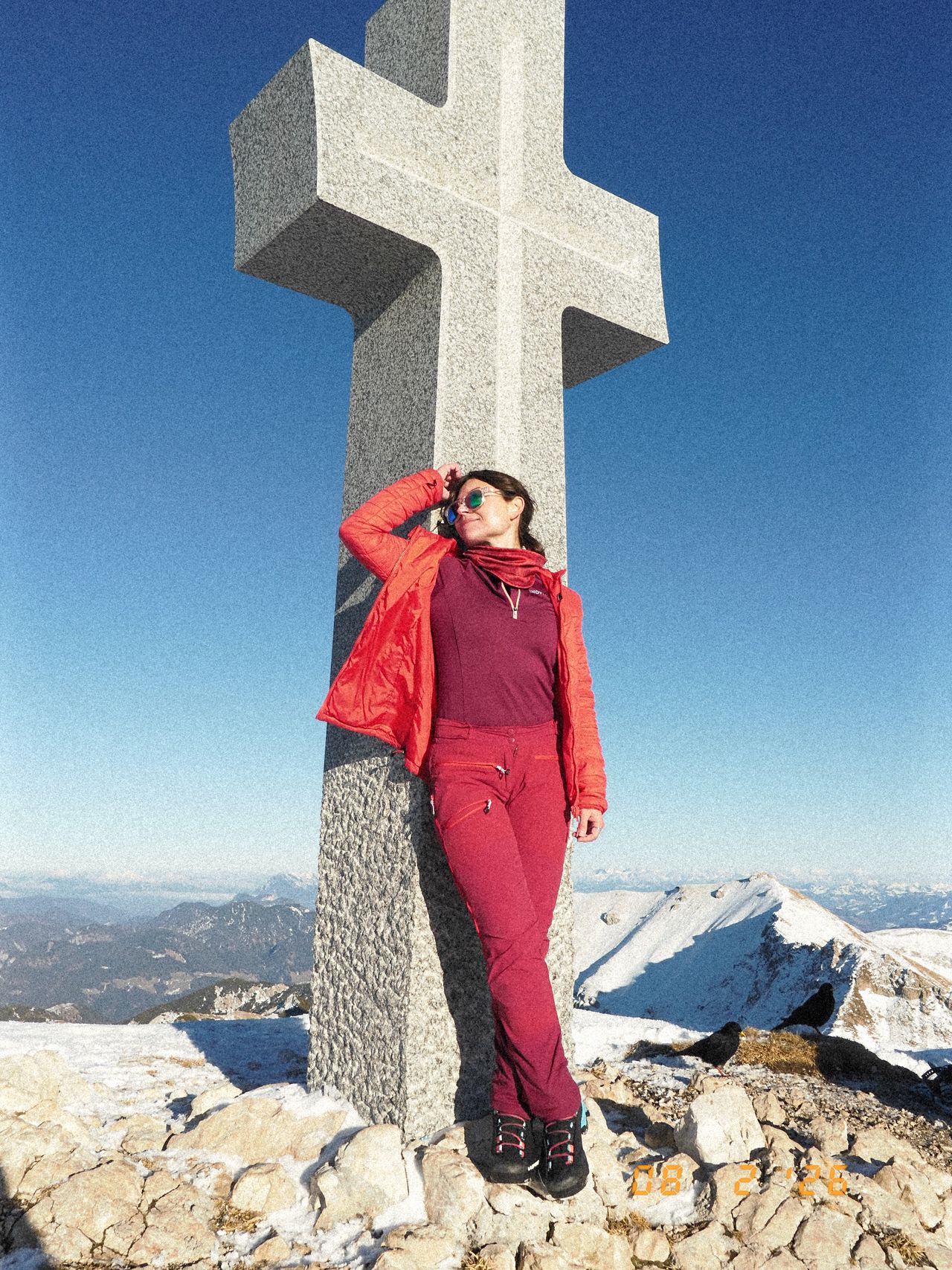
Plessenberg und Co | 1786m
| Elevation gain |
| Elevation loss |
| Distance |
| Duration |
| Highest altitude |
| Rating |
Route Information
Automatic peak(s) detection (experimental feature)
The route passes by the following peaks:
- Zunterköpfl (1635 m)
- Ascherjöchl (1458 m)
- Blessenberg (1743 m)
- Kienberg (1786 m)
-------
User provided description:
Enter your description ...
Automatic direction calculation (experimental feature, please provide feedback)
By car: Navigate using Google maps
By public transport:
Train station near start point: Wörgl Kundl (3.6 Km from start point)
Bus stop near start point: Breitenbach a. I. Kaiserblick (427 m from start point)
------
| Technical Difficulty | Easy | |||||||||||
|---|---|---|---|---|---|---|---|---|---|---|---|---|
| Gear | ||||||||||||
| Popularity | 0 | |||||||||||
Route statistics
| Highest point | 1786m | |||||||||||
|---|---|---|---|---|---|---|---|---|---|---|---|---|
| Total gain | 1714m | |||||||||||
| Total loss | 1714m | |||||||||||
| Duration | 08h48m | |||||||||||
| Distance | 19.0Km | |||||||||||
| Rating | 1562 | |||||||||||
Best Season
Forecast
Author