Hochmiesing, Rotwand and Auerspitz - from Osterhofen to Spitzingsee | 1884m
| Elevation gain |
| Elevation loss |
| Distance |
| Duration |
| Highest altitude |
| Rating |
Route Information
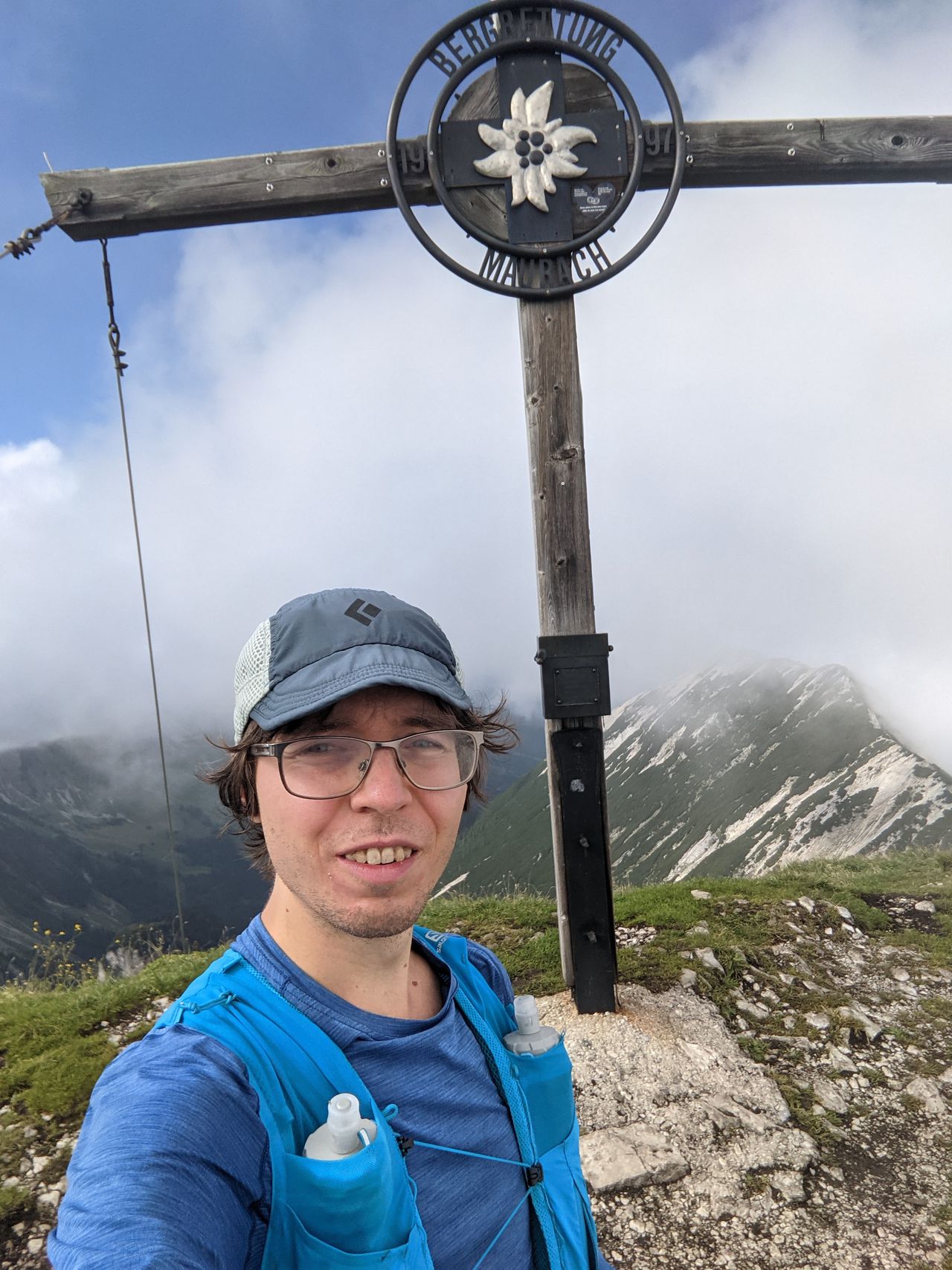
The photos show in order:
- Hochmiesing summit
- the "Kriegersteig" route to Rotwand summit (directly opposite from the Hochmiesing summit route.
- Looking down from Auerspitz. Rotwand is on the left shrouded in fog.
The critical part of this route is the "Kriegersteig" path up to Rotwand summit. That part is very steep and can be dangerous when conditions are bad. In winter the alternative route up to Rotwand summit can also be problematic due to snow conditions and avalanche risk.
Due to the length of the route, it can make sense to stop at Rotwandhaus, before heading up to Auerspitz.
Expect plenty of annoying mountain pines on/in the path around Hochmiesing summit, and Auerspitz summit.
Automatic direction calculation (experimental feature, please provide feedback)
By car: Navigate using Google maps
By public transport:
Train station near start point: Osterhofen (Oberbay) (0.0 Km from start point)
Bus stop near start point: Osterhofen Wendelsteinseilbahn (408 m from start point)
Bus stop near start point: Osterhofen Alpenhof (500 m from start point)
Train station near end point: Fischhausen-Neuhaus (5.1 Km from end point)
Bus stop near end point: Spitzingsee Hotel (12 m from end point)
------
Automatic hut detection (experimental feature, please provide feedback)
Rotwandhaus (1737 m):
Phone: +49-8026-7683;+43-664-1645290
Location: Google maps
------
| Technical Difficulty | Medium | |||||||||||
|---|---|---|---|---|---|---|---|---|---|---|---|---|
| Gear | ||||||||||||
| Popularity | 0 | |||||||||||
Route statistics
| Highest point | 1884m | |||||||||||
|---|---|---|---|---|---|---|---|---|---|---|---|---|
| Total gain | 1462m | |||||||||||
| Total loss | 1174m | |||||||||||
| Duration | 09h17m | |||||||||||
| Distance | 21.9Km | |||||||||||
| Rating | 1526 | |||||||||||
Best Season
Forecast
Author