Bürgenstock – Beckenried | 1029m
| Elevation gain |
| Elevation loss |
| Distance |
| Duration |
| Highest altitude |
| Rating |
Route Information
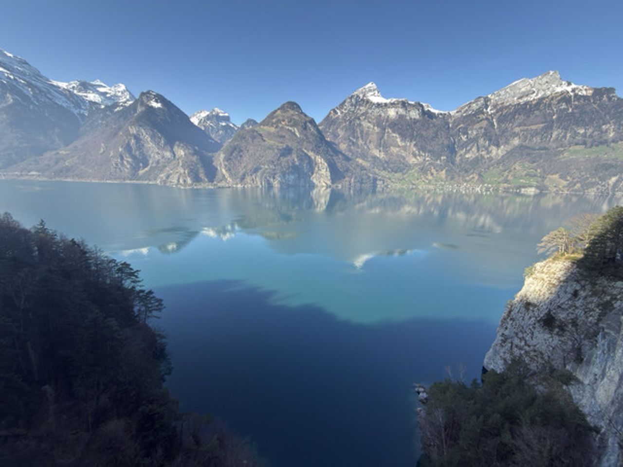
Via the north wall to the other shore and the Bürgenstock cliff path, which as an Alpine promenade, afforded well-heeled ladies and gentlemen a view back to the city of Lucerne. Past the pilgrimage site of St Jost along the shore at Ennetburgen, Buochs and Beckenried.
Automatic direction calculation (experimental feature, please provide feedback)
By car: Navigate using Google maps
By public transport:
Train station near start point: Bürgenstock Resort (0.2 Km from start point)
Train station near end point: Vitznau (4.8 Km from end point)
------
| Technical Difficulty | Easy | |||||||||||
|---|---|---|---|---|---|---|---|---|---|---|---|---|
| Gear | ||||||||||||
| Popularity | 1 | |||||||||||
Route statistics
| Highest point | 1029m | |||||||||||
|---|---|---|---|---|---|---|---|---|---|---|---|---|
| Total gain | 647m | |||||||||||
| Total loss | 1056m | |||||||||||
| Duration | 03h58m | |||||||||||
| Distance | 13.1Km | |||||||||||
| Rating | 905 | |||||||||||
Best Season
Forecast
Author