Uffing - Murnau | 694m
| Elevation gain |
| Elevation loss |
| Distance |
| Duration |
| Highest altitude |
| Rating |
Route Information
Easy hike for exploring the surrounding of Staffelsee and the beauty of the mountains which could be see at the horizon.
Automatic direction calculation (experimental feature, please provide feedback)
By car: Navigate using Google maps
By public transport:
Train station near start point: Uffing (0.0 Km from start point)
Bus stop near start point: Anwesen Brendl (889 m from start point)
Bus stop near start point: Untereglfing (1682 m from start point)
Train station near end point: Murnau (0.0 Km from end point)
Bus stop near end point: Murnau Weindorfer Straße (1042 m from end point)
Bus stop near end point: Ramsachleite (1095 m from end point)
------
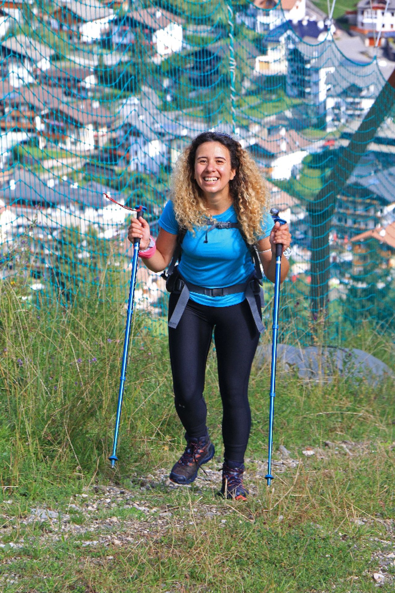
Sport shoes
Hiking clothes
Hiking poles (optional)
| Technical Difficulty | Very Easy | |||||||||||
|---|---|---|---|---|---|---|---|---|---|---|---|---|
| Gear | ||||||||||||
| Popularity | 2 | |||||||||||
Route statistics
| Highest point | 694m | |||||||||||
|---|---|---|---|---|---|---|---|---|---|---|---|---|
| Total gain | 170m | |||||||||||
| Total loss | 146m | |||||||||||
| Duration | 03h27m | |||||||||||
| Distance | 14.0Km | |||||||||||
| Rating | 863 | |||||||||||
Best Season
Forecast
Author