Beckenried – Rütli | 677m
| Elevation gain |
| Elevation loss |
| Distance |
| Duration |
| Highest altitude |
| Rating |
Route Information
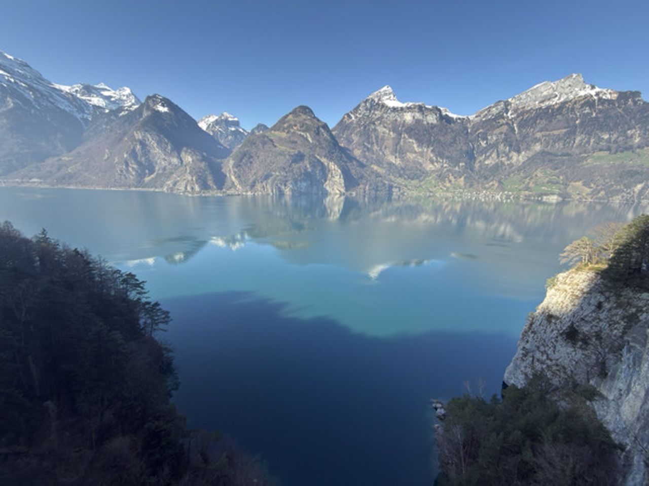
Through the refreshingly cool gorge on the Urnersee lake - along the lakeshore road to Risleten and a climb through the attractive Risletenschlucht gorge. Crossing of the Stützberg along the historic path to Volligen and arrival in Rütli, with views down to the Urnersee lake.
Automatic direction calculation (experimental feature, please provide feedback)
By car: Navigate using Google maps
By public transport:
Train station near start point: Vitznau (4.8 Km from start point)
Train station near end point: Seelisberg (1.1 Km from end point)
------
| Technical Difficulty | Easy | |||||||||||
|---|---|---|---|---|---|---|---|---|---|---|---|---|
| Gear | Hiking Boots , Hiking Poles | |||||||||||
| Popularity | 2 | |||||||||||
Route statistics
| Highest point | 677m | |||||||||||
|---|---|---|---|---|---|---|---|---|---|---|---|---|
| Total gain | 760m | |||||||||||
| Total loss | 736m | |||||||||||
| Duration | 04h11m | |||||||||||
| Distance | 13.4Km | |||||||||||
| Rating | 952 | |||||||||||
Best Season
Forecast
Author