[PL] 2 days hike in polish Tatra mountains (part I) | 1637m
| Elevation gain |
| Elevation loss |
| Distance |
| Duration |
| Highest altitude |
| Rating |
Route Information
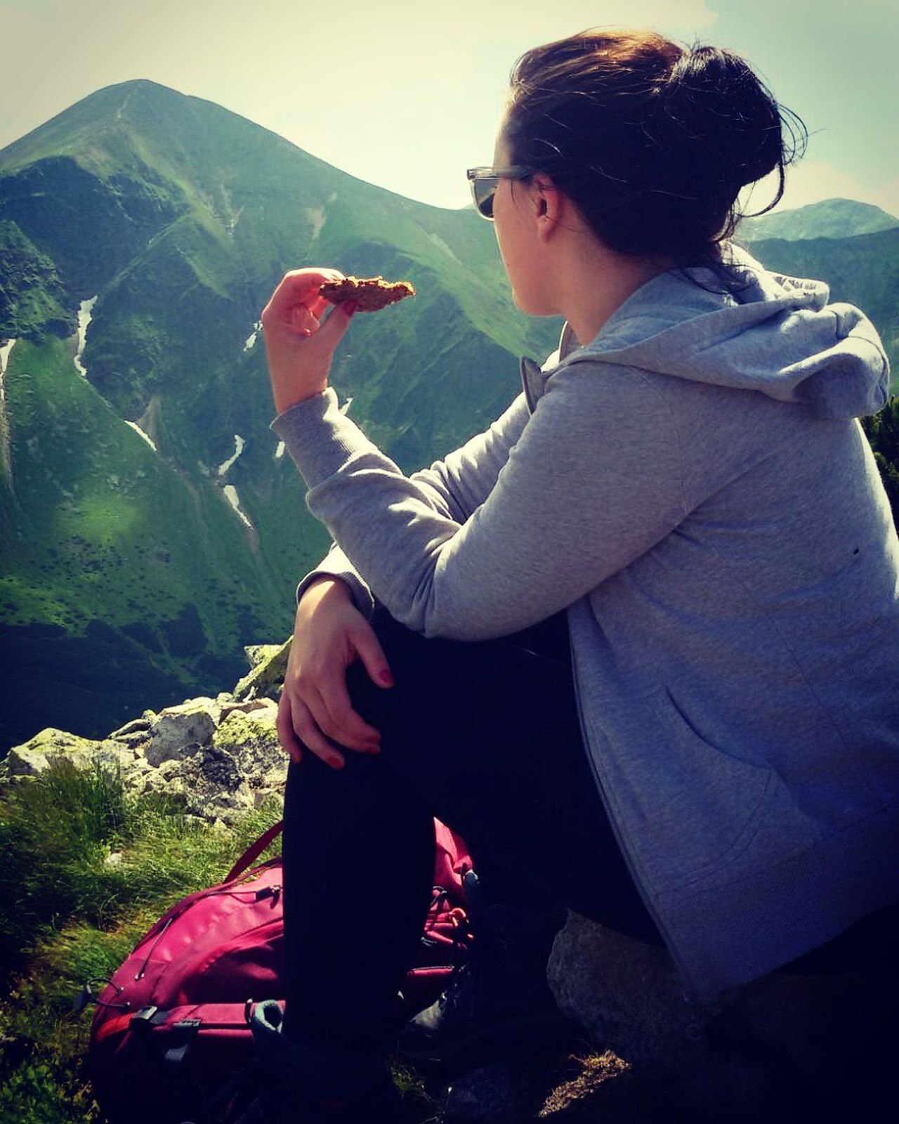
very easy and spontaneously hike with sleeping in a Berghütte
Automatic direction calculation (experimental feature, please provide feedback)
By car: Navigate using Google maps
By public transport:
Train station near start point: Zakopane (9.0 Km from start point)
Train station near end point: Zakopane (8.8 Km from end point)
------
Automatic hut detection (experimental feature, please provide feedback)
Schronisko PTTK Murowaniec
Location: Google maps
------
crampons will be helpful
this rout had to be changed due to weather conditions
| Technical Difficulty | Medium | |||||||||||
|---|---|---|---|---|---|---|---|---|---|---|---|---|
| Gear | ||||||||||||
| Popularity | 0 | |||||||||||
Route statistics
| Highest point | 1637m | |||||||||||
|---|---|---|---|---|---|---|---|---|---|---|---|---|
| Total gain | 1465m | |||||||||||
| Total loss | 953m | |||||||||||
| Duration | 08h01m | |||||||||||
| Distance | 19.7Km | |||||||||||
| Rating | 1369 | |||||||||||
Best Season
Forecast
Author