Laberköpfl via Reindlkante [T6, IV/IV+] | 1413m
| Elevation gain |
| Elevation loss |
| Distance |
| Duration |
| Highest altitude |
| Rating |
Route Information
- Exposed
- Alpine: very few bolts, mostly pitons
- Often large distance betweens bolts/pitons: advisable to bring some nuts, cams and specially slings (due to the many mountain pines (Latschen))
Topo:
https://www.allgaeu-plaisir.de/wp-content/uploads/2023/10/Topo-2.pdf
In the upper section, once you've passed the hardest parts (up to IV/IV+), you'll need a bit of alpine navigation sense. However, there are usually clear trail marks visible, so experienced climbers will probably pack up their ropes here (I-II, III). After scrambling up and down rugged terrain, you finally reach the Laberköpfl, which drops steeply on all sides. The view down toward Oberammergau and into the Alpenvorland offers impressive panoramic views.
The exposed descent requires a bit more concentration; those with weak nerves might want to rappel down here (up to III-).
Video:
https://youtu.be/_l30IIPRw5g?t=234
More Info (german):
https://www.allgaeu-plaisir.de/die-reindlkante-am-laberkoepfl/
https://www.alpenvereinaktiv.com/de/tour/ueber-die-reindlkante-aufs-laberkoepfl-1.411m-/294281922/
https://rebecca-abenteuerberge.blogspot.com/2015/05/laberkopferl-1411m-uber-reindlkante-iv.html
| Technical Difficulty | Very Difficult | |||||||||||
|---|---|---|---|---|---|---|---|---|---|---|---|---|
| Gear | Helmet , Ropes | |||||||||||
| Popularity | 1 | |||||||||||
Route statistics
| Highest point | 1413m | |||||||||||
|---|---|---|---|---|---|---|---|---|---|---|---|---|
| Total gain | 587m | |||||||||||
| Total loss | 587m | |||||||||||
| Duration | 02h49m | |||||||||||
| Distance | 8.2Km | |||||||||||
| Rating | 724 | |||||||||||
Best Season
Forecast
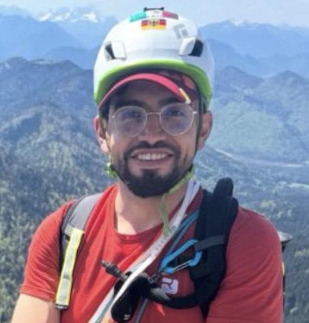
Author