Zunterkopf & Tauern from Plansee | 1841m
| Elevation gain |
| Elevation loss |
| Distance |
| Duration |
| Highest altitude |
| Rating |
Route Information
Automatic peak(s) detection (experimental feature)
The route passes by the following peaks:
- Zunterkopf (1811 m)
- Tauern (1841 m)
-------
User provided description:
A scenic but challenging hike offering breathtaking views of both Plansee and Heiterwanger See.
Requirements: Surefootedness (Trittsicherheit) and a good head for heights (Schwindelfreiheit) are absolutely required.
Important: There are no mountain huts/cabins along the hiking route. You must bring everything you need for the day.
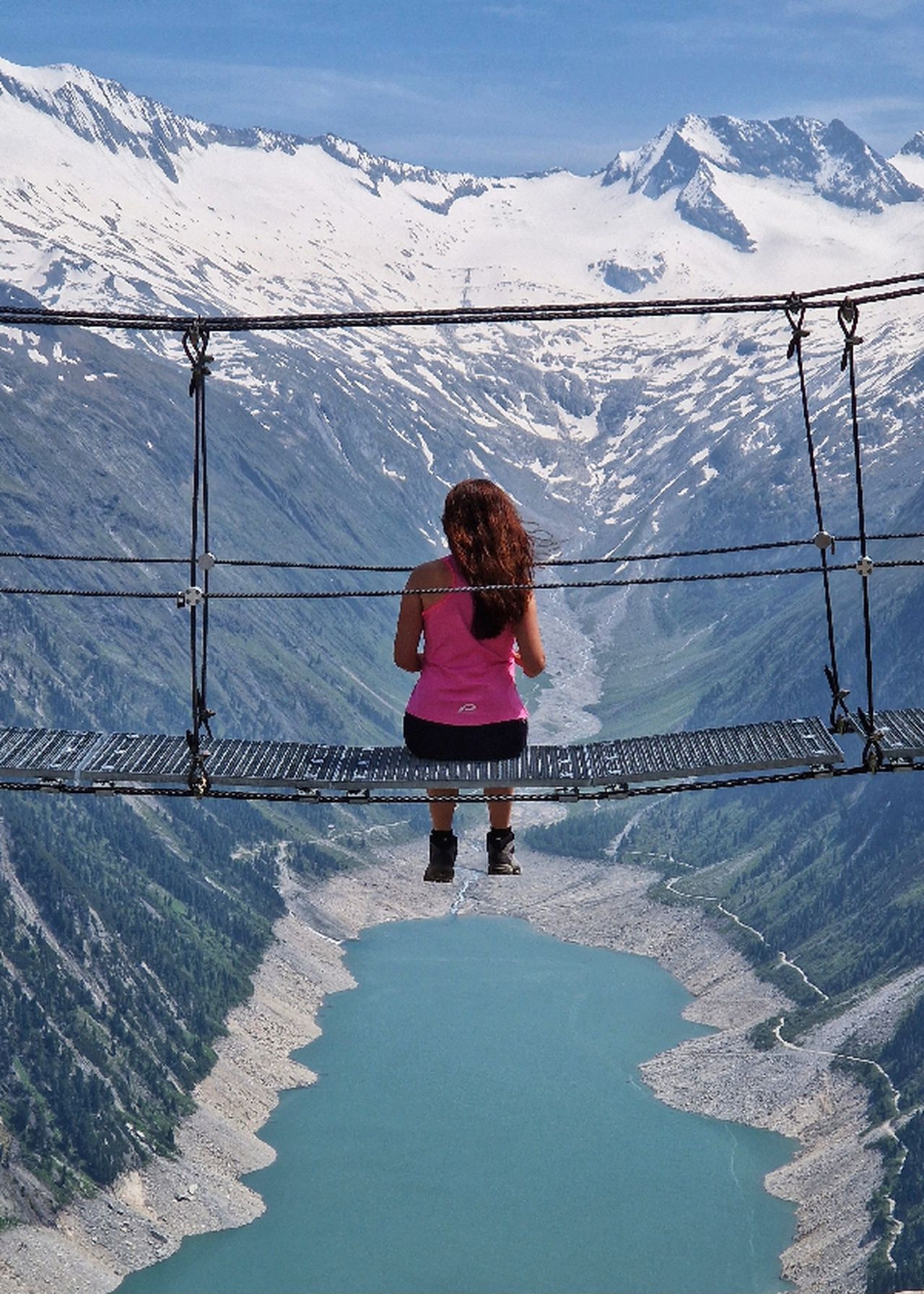
Note: the cover picture of the route is from this hiking.(copyright!)
Automatic direction calculation (experimental feature, please provide feedback)
By car: Navigate using Google maps
By public transport:
Train station near start point: Heiterwang-Plansee (4.5 Km from start point)
Bus stop near start point: Heiterwang Heiterwanger See (2780 m from start point)
------
Requirements: Surefootedness (Trittsicherheit) and a good head for heights (Schwindelfreiheit) are absolutely required.
| Technical Difficulty | Medium Difficult | |||||||||||
|---|---|---|---|---|---|---|---|---|---|---|---|---|
| Gear | ||||||||||||
| Popularity | 1 | |||||||||||
Route statistics
| Highest point | 1841m | |||||||||||
|---|---|---|---|---|---|---|---|---|---|---|---|---|
| Total gain | 975m | |||||||||||
| Total loss | 975m | |||||||||||
| Duration | 04h11m | |||||||||||
| Distance | 10.1Km | |||||||||||
| Rating | 978 | |||||||||||
Best Season
Forecast
Author