Scharnitz to Innsbruck through the mountains | 2559m
| Elevation gain |
| Elevation loss |
| Distance |
| Duration |
| Highest altitude |
| Rating |
Route Information
Automatic peak(s) detection (experimental feature)
The route passes by the following peaks:
- Thaurer Jochspitze (2309 m)
- Rumer Spitze (2454 m)
- Gleirschspitze (2317 m)
- Seegrubenspitze (2350 m)
- Östliche Kaminspitze (2435 m)
- Mittlere Kaminspitze (2435 m)
- Westliche Kaminspitze (2445 m)
- Kemacher (2480 m)
- Östliche Sattelspitze (2369 m)
- Westliche Sattelspitze (2339 m)
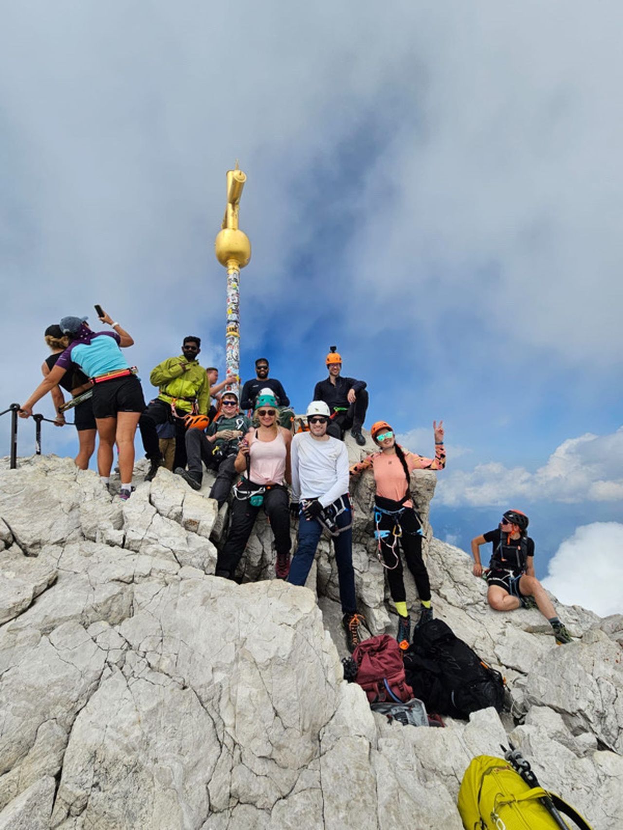
- Frau Hitt (2270 m)
- Vordere Brandjochspitze (2559 m)
- Brandjochkreuz (2268 m)
-------
User provided description:
Enter your description ...
Automatic direction calculation (experimental feature, please provide feedback)
By car: Navigate using Google maps
By public transport:
Train station near start point: Scharnitz (0.3 Km from start point)
Bus stop near start point: Scharnitz Gemeindeamt (66 m from start point)
Train station near end point: Kranebitten (0.0 Km from end point)
Bus stop near end point: Kranebitten Klammgeist (95 m from end point)
------
Automatic hut detection (experimental feature, please provide feedback)
Amtsäge (1196 m):
Opening hours: closed
Location: Google maps
Möslalm (1262 m):
Website: Homepage
Phone: +43 664 9142670
Wikipedia: Wikipedia page
Location: Google maps
Pfeishütte (1950 m):
Website: Homepage
Phone: +43 720 316596
Wikipedia: Wikipedia page
Location: Google maps
------
| Technical Difficulty | Very Difficult | |||||||||||
|---|---|---|---|---|---|---|---|---|---|---|---|---|
| Gear | ||||||||||||
| Popularity | 0 | |||||||||||
Route statistics
| Highest point | 2559m | |||||||||||
|---|---|---|---|---|---|---|---|---|---|---|---|---|
| Total gain | 3368m | |||||||||||
| Total loss | 3630m | |||||||||||
| Duration | 23h41m | |||||||||||
| Distance | 41.5Km | |||||||||||
| Rating | 3718 | |||||||||||
Best Season
Forecast
Author