Karwendeldurchquerung - Eng - Falkenhütte - Karwendelhütte - Scharnitz | 2749m
| Elevation gain |
| Elevation loss |
| Distance |
| Duration |
| Highest altitude |
| Rating |
Route Information
Automatic peak(s) detection (experimental feature)
The route passes by the following peaks:
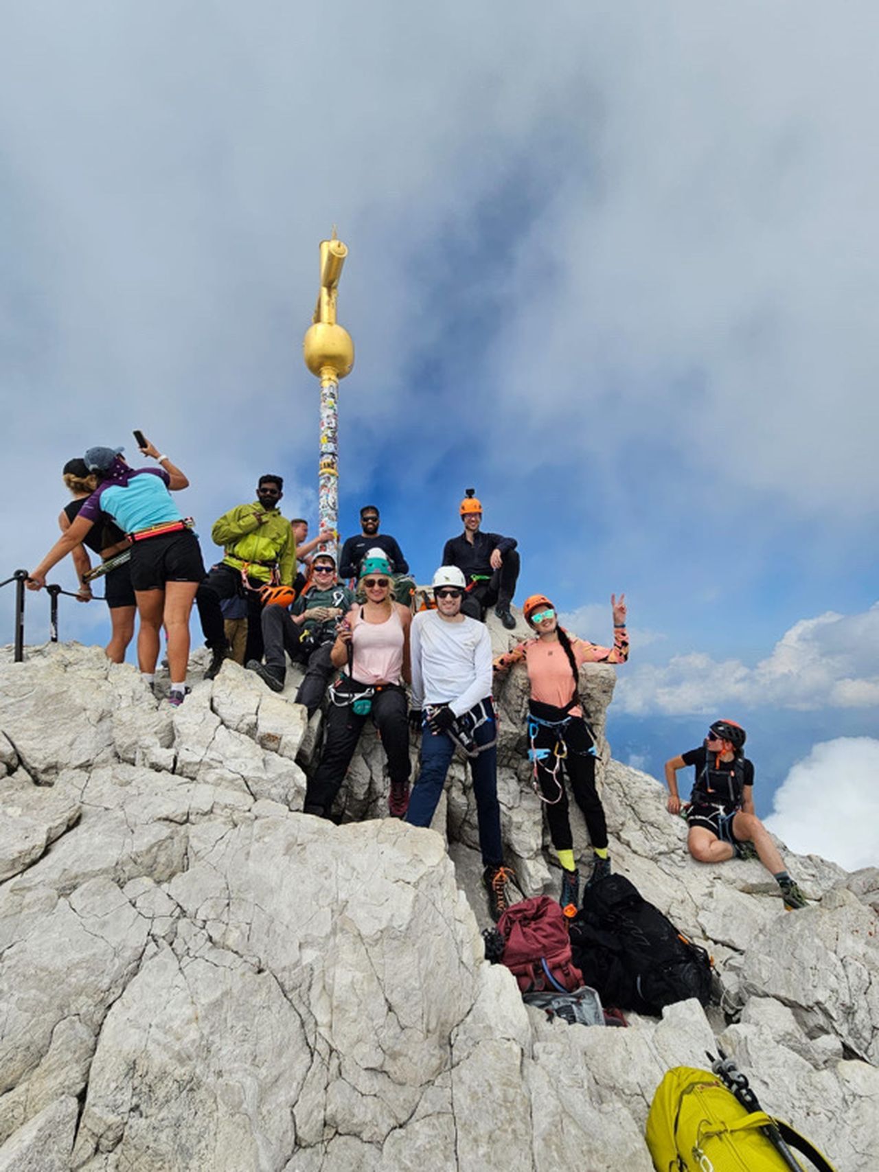
- Birkkarspitze (2749 m)
- Östliche Ödkarspitze (2739 m)
- Mittlere Ödkarspitze (2746 m)
- Westliche Ödkarspitze (2714 m)
- Breitgrieskarspitze (2585 m)
-------
User provided description:
Enter your description ...
Automatic direction calculation (experimental feature, please provide feedback)
By car: Navigate using Google maps
By public transport:
Train station near start point: Terfens-Weer (10.9 Km from start point)
Bus stop near start point: Alpengasthof Eng (781 m from start point)
Train station near end point: Scharnitz (0.0 Km from end point)
Bus stop near end point: Scharnitz Gemeindeamt (245 m from end point)
Bus stop near end point: Scharnitz Gh Risserhof (249 m from end point)
------
Automatic hut detection (experimental feature, please provide feedback)
Falkenhütte (1846 m):
Website: Homepage
Phone: +43 5245 245
Wikipedia: Wikipedia page
Location: Google maps
Karwendelhaus (1765 m):
Url: Homepage
Phone: +43-5213-5623
Wikipedia: Wikipedia page
Location: Google maps
Pleisenhütte (1757 m):
Phone: +43-664-9158792
Wikipedia: Wikipedia page
Location: Google maps
------
| Technical Difficulty | Difficult | |||||||||||
|---|---|---|---|---|---|---|---|---|---|---|---|---|
| Gear | ||||||||||||
| Popularity | 0 | |||||||||||
Route statistics
| Highest point | 2749m | |||||||||||
|---|---|---|---|---|---|---|---|---|---|---|---|---|
| Total gain | 3325m | |||||||||||
| Total loss | 3592m | |||||||||||
| Duration | 22h06m | |||||||||||
| Distance | 39.0Km | |||||||||||
| Rating | 3313 | |||||||||||
Best Season
Forecast
Author