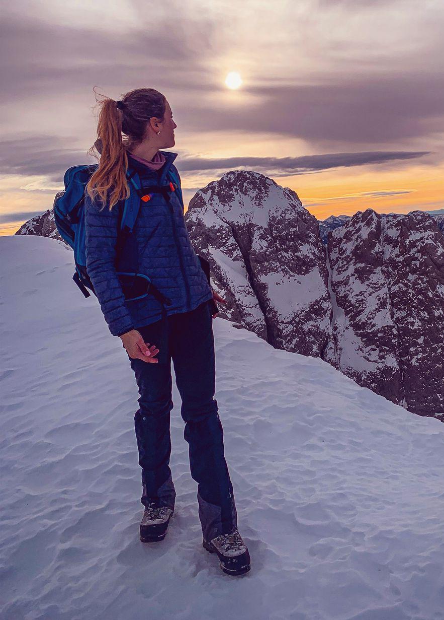
Kochelsee to Benediktbeuren via Benediktenwand | 1800m
| Elevation gain |
| Elevation loss |
| Distance |
| Duration |
| Highest altitude |
| Rating |
Route Information
(No description available)
Automatic direction calculation (experimental feature, please provide feedback)
By car: Navigate using Google maps
By public transport:
Train station near start point: Kochel (0.3 Km from start point)
Bus stop near start point: Gh. Schmied von Kochel (66 m from start point)
Bus stop near start point: Kochel Gasthaus Post (70 m from start point)
Train station near end point: Benediktbeuern (0.1 Km from end point)
Bus stop near end point: Benediktbeuern Post (662 m from end point)
Bus stop near end point: Pechlern (1085 m from end point)
------
Automatic hut detection (experimental feature, please provide feedback)
Tutzinger Hütte (1327 m):
Website: Homepage
Wikipedia: Wikipedia page
Location: Google maps
------
T3/T4 not T5. Path to Benediktenwand is hard to find in snow. Please take Nature Preservation Zones into consideration.
| Technical Difficulty | Difficult | |||||||||||
|---|---|---|---|---|---|---|---|---|---|---|---|---|
| Gear | Hiking Boots , Hiking Poles | |||||||||||
| Popularity | 1 | |||||||||||
Route statistics
| Highest point | 1800m | |||||||||||
|---|---|---|---|---|---|---|---|---|---|---|---|---|
| Total gain | 1626m | |||||||||||
| Total loss | 1616m | |||||||||||
| Duration | 09h58m | |||||||||||
| Distance | 22.3Km | |||||||||||
| Rating | 1814 | |||||||||||
Best Season
Forecast
Author