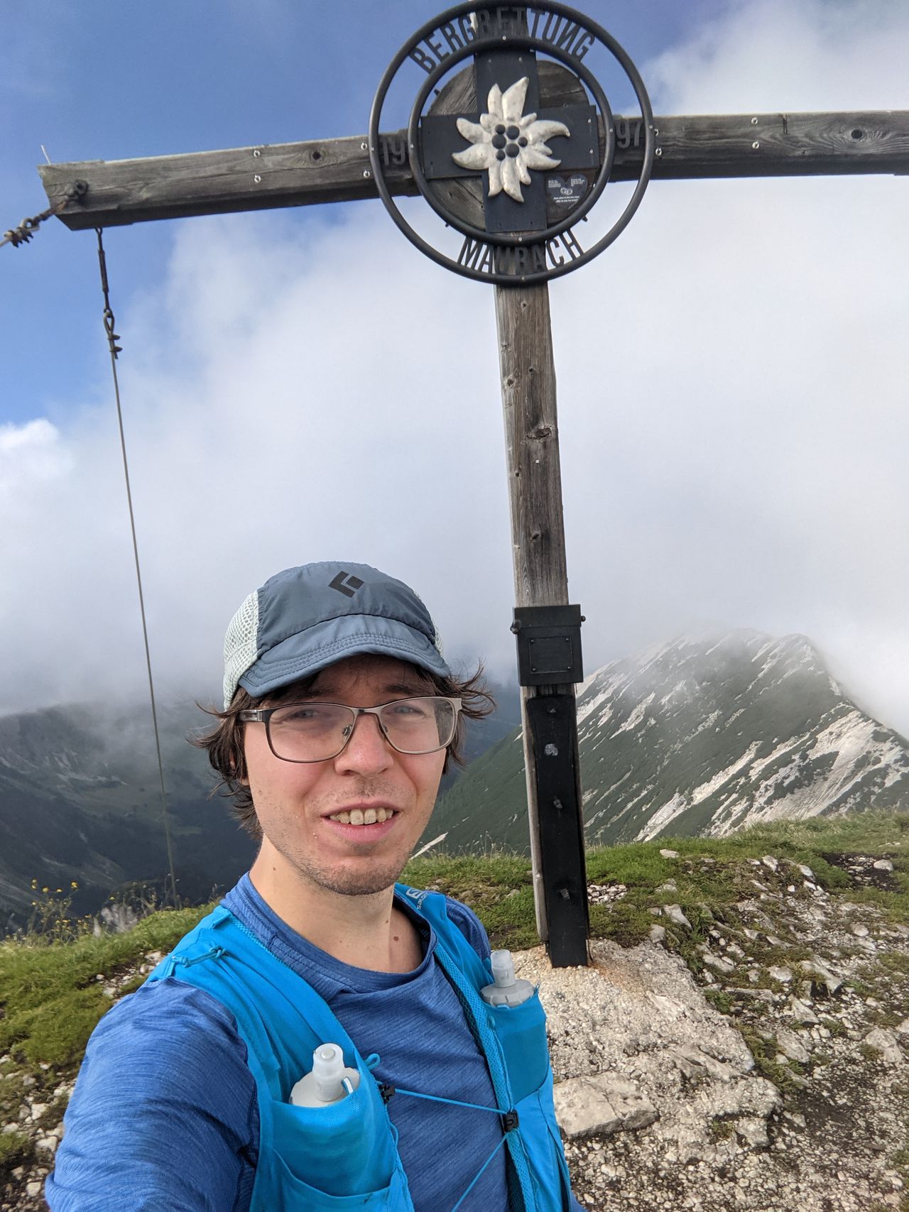
Tatzelwurm Wasserfälle via Sudelfeldkopf | 1427m
| Elevation gain |
| Elevation loss |
| Distance |
| Duration |
| Highest altitude |
| Rating |
Route Information
The path along the Auerbach may be unusable or dangerous when there is lots of snow, since it runs directly under some tall cliffs in parts.
Automatic direction calculation (experimental feature, please provide feedback)
By car: Navigate using Google maps
By public transport:
Train station near start point: Bayrischzell (0.0 Km from start point)
Bus stop near start point: Bayrischzell Bahnhof (83 m from start point)
------
| Technical Difficulty | Easy | |||||||||||
|---|---|---|---|---|---|---|---|---|---|---|---|---|
| Gear | ||||||||||||
| Popularity | 1 | |||||||||||
Route statistics
| Highest point | 1427m | |||||||||||
|---|---|---|---|---|---|---|---|---|---|---|---|---|
| Total gain | 982m | |||||||||||
| Total loss | 982m | |||||||||||
| Duration | 07h11m | |||||||||||
| Distance | 19.9Km | |||||||||||
| Rating | 1219 | |||||||||||
Best Season
Forecast
Author