Teufelstättkopf + Alpine coaster | 1758m
| Elevation gain |
| Elevation loss |
| Distance |
| Duration |
| Highest altitude |
| Rating |
Route Information
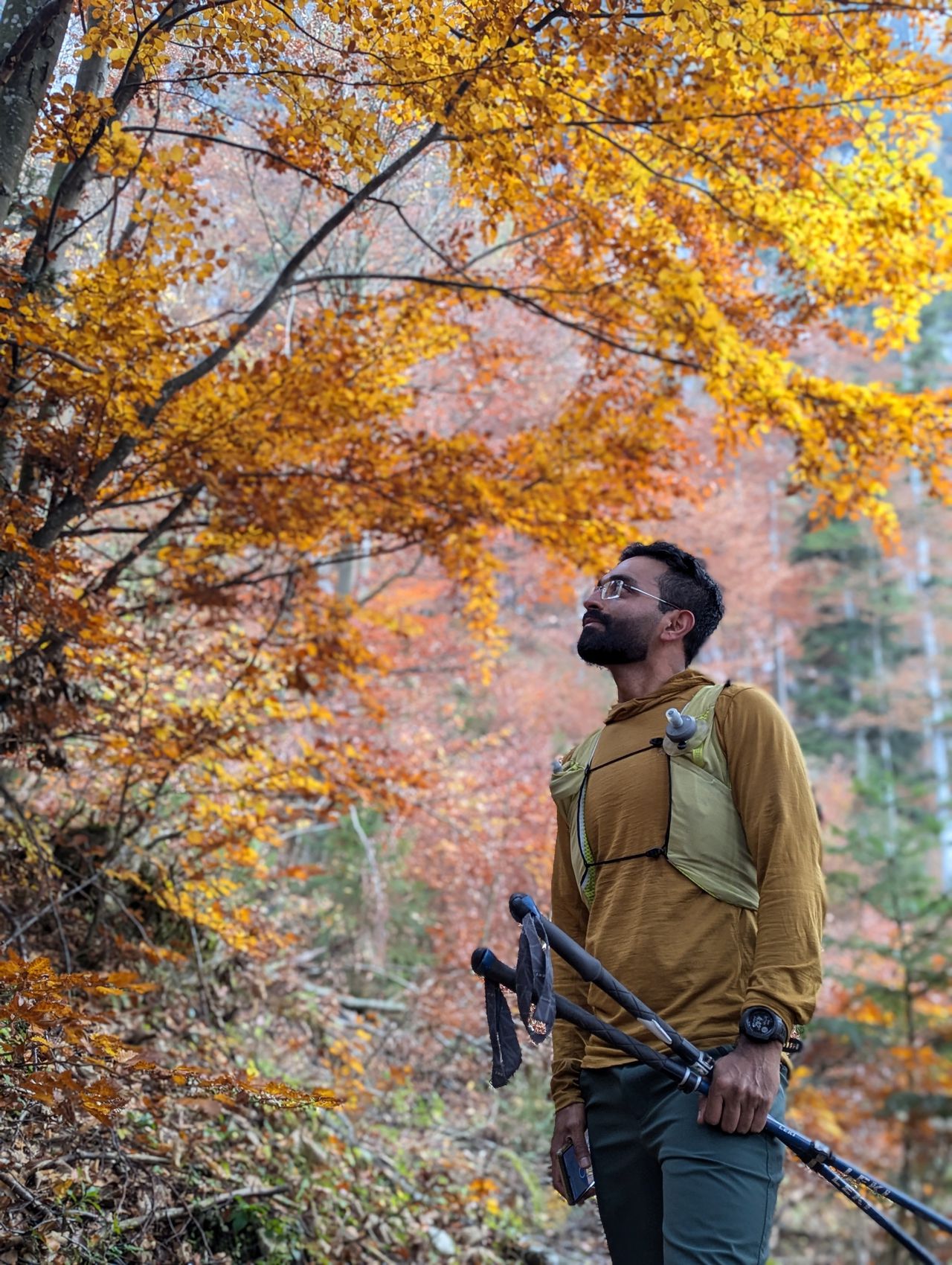
Teufelstättkopf is one of the most popular mountains in Ammergauer alps. This hike is mostly T2 except the last couple of metres to the peak. However, in winter this route is not recommended without alpine experience.
The start point of the hike is Unterammergau. Follow the directions towards Schleifmühlklamm. The walk through the gorge is just stunning. There is no entry fee to the gorge. After the gorge follow the directions to Kuhalm, from there the path becomes steep and narrow before going to the ridge. In the ridge you have amazing views of Karwendel, Wetterstein mountains and Allgäu and Ammergauer alps. You need good orientation skills and sure footedness in the ridge. The last few meters to the peak has a section with rope.
The descent is from the peak towards Purschling. Following an easy forest road from Purschling, you arrive at Kolbensattelhuette. There you can take the alpine coaster to Oberammergau.
Automatic direction calculation (experimental feature, please provide feedback)
By car: Navigate using Google maps
By public transport:
Train station near start point: Unterammergau (0.0 Km from start point)
Bus stop near start point: Ammerbrücke (77 m from start point)
Train station near end point: Oberammergau (2.4 Km from end point)
Bus stop near end point: Graswang (2164 m from end point)
Bus stop near end point: Linderhofer Str. 1 (2308 m from end point)
------
Automatic hut detection (experimental feature, please provide feedback)
August-Schuster-Haus (1564 m):
Website: Homepage
Phone: +498822/3567
Location: Google maps
Kolbensattelhütte (1276 m):
Location: Google maps
------
| Technical Difficulty | Medium | |||||||||||
|---|---|---|---|---|---|---|---|---|---|---|---|---|
| Gear | Hiking Boots , Hiking Poles | |||||||||||
| Popularity | 7 | |||||||||||
Route statistics
| Highest point | 1758m | |||||||||||
|---|---|---|---|---|---|---|---|---|---|---|---|---|
| Total gain | 961m | |||||||||||
| Total loss | 511m | |||||||||||
| Duration | 04h23m | |||||||||||
| Distance | 11.4Km | |||||||||||
| Rating | 948 | |||||||||||
Best Season
Forecast
Author